What is recorded here
Located within the likely extent of the medieval settlement of Dunboyne. Archaeological testing (14E0126) by R. Meenan on the SW side of the NW-SE Summerhill Road (excavations.ie 2014: 4678) uncovered and sampled part of an ENE-WSW ditch (Wth of top 1.1m; D 0.8m) that was filled with a soft grey silty clay that had occasional flecks of charcoal and lumps of brown boulder clay. It produced eight sherds of Dublin-type ware and one of Leinster cooking ware, and a date in the thirteenth century is likely for what may have been a property boundary. (Meenan 2014)
Compiled by: Michael Moore
Date of upload: 29 October 2021
The monument record does not grant public access. Check the route and ask the landowner before entering private land.
- What survives
- Recorded monument
Places near here
 Font in DunboyneFont · 132 yd
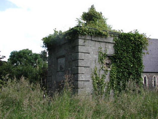 Saint Peter's Church (Dunboyne)mausoleum · 167 yd
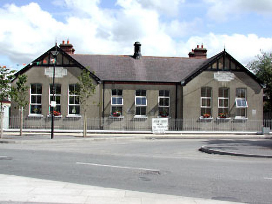 Dunboyne National Schoolschool · 191 yd
 CastleCastle, ringwork · 376 yd
 EnclosureEnclosure, large enclosure · 1118 yd
 Hanwood GardensHeritage attraction · 1.7 mi
 Ash HillMountain / peak · 2.1 mi
 Site of Old CastleCastle, unclassified · 2.6 mi
 Church, GraveyardChurch · 3.3 mi
 TyrrelstownWood · 3.4 mi
 Wesley's WoodsWood · 3.5 mi
 Graveyard in BuzzardstownGraveyard · 3.7 mi