What is recorded here
Three curving gullies and charcoal-stained pits waited beneath County Kilkenny soil when excavation began in 2006. They may have marked a ring-ditch, a boundary drawn by hands now forgotten. The scarred stones and burnt bone suggest fire, feast or ritual, though the truncated shape withholds a final answer.
Excavated in 2006 in advance of a proposed housing development (Excavation licence no. 06E0022). Three curving gullies, linked to each other were noted at the SW extent of the excavation. An oval pit (2.96m NW-SE; 2.1m NE-SW) with frequent flecks of charcoal and a number of scorched angular stones and flecks of burnt bone was found at NE along with a circular pit (1.95m N-S; 1.95m E-W) and another gully. The gullies may have formed a ring-ditch but as the features were badly truncated this could not be determined. Results of radiocarbon dates are awaited. (Wallace and McQueen 2006; 2009, no. 1011, 257-8)
Compiled by: Mary Tunney
Date of upload: 1 October 2013
The monument record does not grant public access. Check the route and ask the landowner before entering private land.
- What survives
- Recorded monument
Places near here
 Enclosure in Dangan (gowran By.)Enclosure · 110 yd
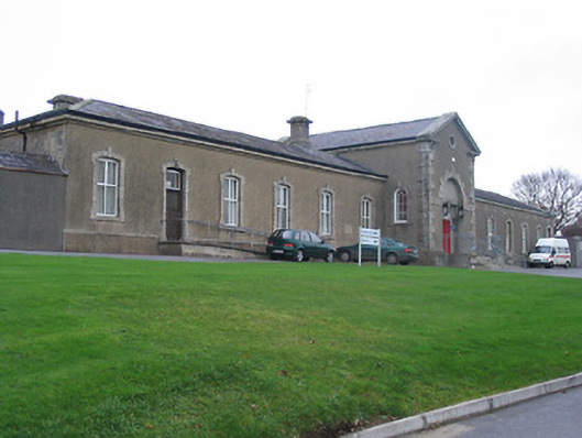 Saint Columba's Hospitalworkhouse · 527 yd
 unknownunknown · 541 yd
 Holy well in ColumbkilleHoly well · 579 yd
 CastleCastle, Anglo-Norman masonry castle · 659 yd
 The Yellow GateMemorial · 846 yd
 Oliver (Ollie) WalshMemorial · 925 yd
 Dangan WoodForest · 1558 yd
 Thomastown QuarryNature reserve · 1668 yd
 Bawn in LeganBawn · 1.6 mi
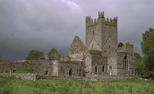 Jerpoint AbbeyHeritage attraction · 1.7 mi
 Holy WellSpring · 1.8 mi