What is recorded here
Situated on a slight bluff with lower ground c. 50m to the W and c. 100m to the S. Archaeological testing (07E0246) produced evidence of a large charcoal-filled pit (dims 2.3m x 1m) of likely prehistoric date with a ditch (Wth c. 1.7m; D 0.8m) 12m to the N and three smaller pits (diam. 0.6-0.7m) c. 20m to the E. The features are located c. 170m NW of ring-ditch (WX047-131----). (McLoughlin 2007, 5)
The monument record does not grant public access. Check the route and ask the landowner before entering private land.
- What survives
- Recorded monument
Places near here
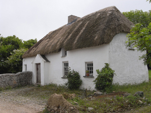 farm housefarm house · 713 yd
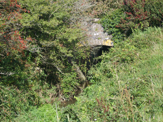 bridgebridge · 790 yd
 IndicatedChurchyard · 998 yd
 St. Fintans WellHoly well · 1081 yd
 CastleCastle, tower house · 1390 yd
 The Heron's MeadowForest · 1.4 mi
 The Bull RockForest · 1.5 mi
 Ballyrane Castle (in ruins)Castle, tower house · 1.9 mi
 1798 Memorial PlaqueMemorial · 1.9 mi
 Johnstown Castle Visitor CentreHeritage attraction · 3.3 mi
 Irish Agricultural MuseumMuseum · 3.4 mi
 The White Hole BeachBeach / strand · 3.6 mi