What is recorded here
Located on the tip of the low-lying Crossfintan Point. Three shallow, interlocking pits (L 3m; Wth 0.5-1m), lined with stones and filled with burnt clay and charcoal were discovered by Prof. F. Mitchell in 1983 (pers. comm.). One sample produced a radiocarbon determination of 1750 ± 80 BP.
The above description is derived from the published 'Archaeological Inventory of County Wexford' (Dublin: Stationery Office, 1996). In certain instances the entries have been revised and updated in the light of recent research.
Compiled by: Michael Moore
Date of upload/revision: 21 March, 2014
The monument record does not grant public access. Check the route and ask the landowner before entering private land.
- What survives
- Recorded monument
Places near here
 Churchtown Beach / The Sandy GripeBeach / strand · 458 yd
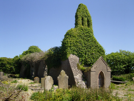 Holy Trinity Church (Carn)church/chapel · 558 yd
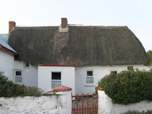 Parle's Forgehouse · 634 yd
 Lifeboat MemorialMemorial · 923 yd
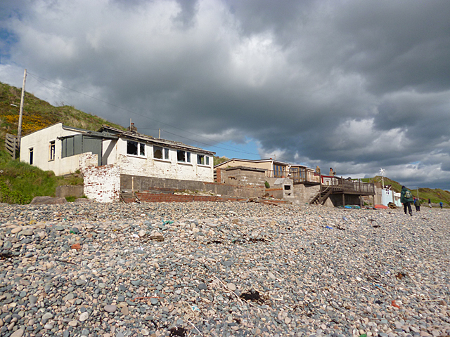 Nethertown BeachBeach / strand · 991 yd
 CastleCastle, tower house · 1237 yd
 The Caravan RockNamed rock · 1353 yd
 The Long StoneArchaeological place · 1645 yd
 St. Margarets WellHoly well · 1726 yd
 Site of CastleCastle, unclassified · 1.1 mi
 Shernock Hill/Knocks HillMountain / peak · 1.2 mi
 The CaamstoneNamed rock · 1.5 mi