What is recorded here
Clear water, bright air, and a measurable difference in a living person.
Cut into a gentle even slope in pasture. Excavated in 2006-7 in advance of the N9/N10 Kilcullen to Waterford Road Improvement Scheme. Excavation licence no. 2517 (AR053, Area A). One of a cluster of monuments found in close proximity to each other in an area c. 1.8ha with dates ranging from the Late Neolithic to the early medieval period. A cluster of 9 pits with two adjacent kilns. The pits dated to the final Neolithic/Early Bronze Age and were generally domestic in nature containing some charcoal inclusions, burnt bone fragments and plant remains. Beaker pot sherds from at least 20 vessels were present. Samples yielded calibrated radiocarbon dates of 2457-2202 BC (UB 10705). (Channing 2009, 255-6, no. 1003; 2010a, 234, no. 881; 2010b)
Compiled by: Mary Tunney
Date of upload: 25 September 2013
The monument record does not grant public access. Check the route and ask the landowner before entering private land.
- What survives
- Recorded monument
Places near here
 farm housefarm house · 142 yd
 BaysrathArchaeological place · 322 yd
 Church in ruinsChurch · 382 yd
 Sheepstown Castle (site of)Archaeological place · 928 yd
 Ballyboodan RingfortArchaeological place · 1160 yd
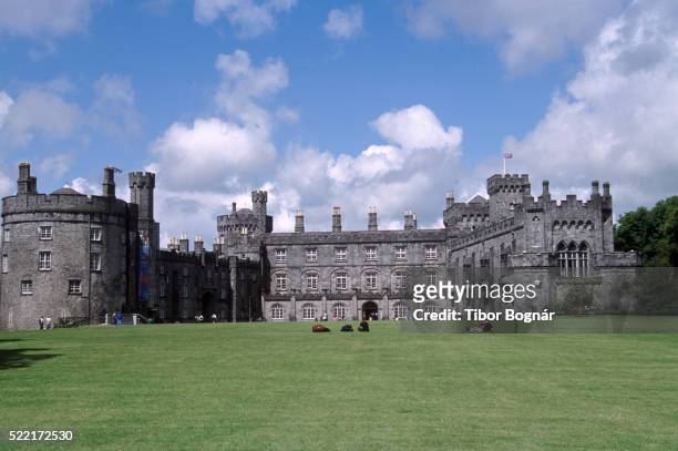 Danganbeg Castle (Site of)Castle, unclassified · 1355 yd
 Church (in Ruins), GraveyardChurch · 1.4 mi
 Turkey OakTurkey Oak · 1.6 mi
 Graveyard in DerrynahinchGraveyard · 2.3 mi
 Castlemorris Pheasant LoopWalking route · 2.5 mi
 Castlemorris WoodForest · 2.5 mi
 Kells Augustinian PrioryHeritage attraction · 3.7 mi