What is recorded here
Situated in a gently undulating landscape. Archaeological monitoring (01E0534) by C. Mullins (2002) of the pipe-laying for the Clonmagadden Water Scheme (L c. 2.5km) in June – July 2001, identified numerous archaeological features that were barely affected by the scheme (excavations.ie 2001:951). The pipe ran mostly through greenfield areas, and at Site K prehistoric remains were excavated (01E0535) by the same archaeologist in an extended trench (dims 14m E-W; 7m N-S). Four linear features were recorded as well as a substantial ditch (Wth 1.3m; D 0.5m) with what might be a bulbous terminal. The ditch was filled with layers of peat, charcoal and redeposited natural and yielded a well-made flint tanged arrowhead and numerous flint flakes and blades. A second ditch of similar proportions also appeared to expand at one end, and it is clear that extensive remains survive outside the excavated area.
Compiled by: Michael Moore
Date of upload; 31 March 2023
Mullins, C. 2002 Monitoring Report of the Clonmagadden Sewerage Extension Scheme. Licence: 01E0534. Unpublished report, Byrne, Mullins & Associates
The monument record does not grant public access. Check the route and ask the landowner before entering private land.
- What survives
- Recorded monument
Places near here
 Enclosure in Batterstown (navan Lower By.)Enclosure · 170 yd
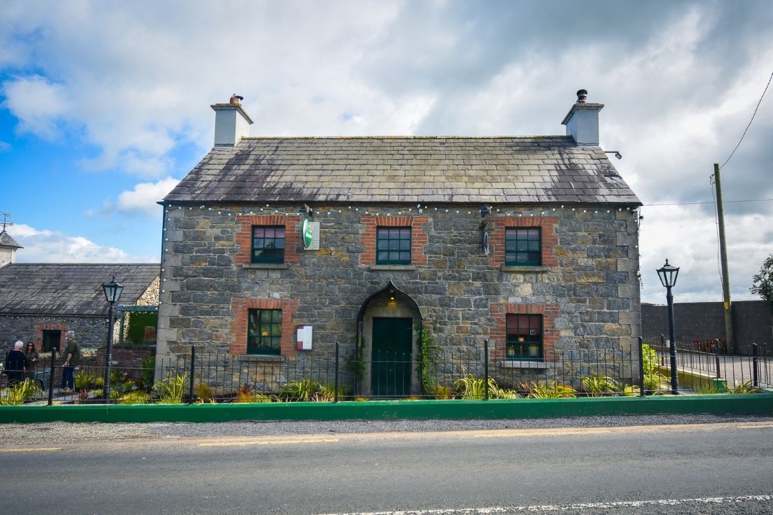 IndicatedFairy fort / earthen ringfort · 611 yd
 Donaghmore Round TowerHeritage attraction · 958 yd
 Church (in Ruins)Church · 981 yd
 Blackcastle DemesneWood · 1131 yd
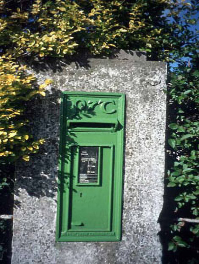 post boxpost box · 1285 yd
 Nangle CourtMemorial · 1493 yd
 Rowley's WoodWood · 1679 yd
 CastleCastle, motte · 1.5 mi
 Dunmoe CastleCastle, unclassified · 1.6 mi
 Carn HillMountain / peak · 2.5 mi
 BohermeenMountain / peak · 4.3 mi