What is recorded here
In 2002, archaeological monitoring (Licence No. 02E0474) of topsoil- stripping along the proposed route of the N11 Newtownmountkennedy-Ballynabarny Road Scheme uncovered 'Site 10'. It comprised a large oval pit, measuring 1.6m by 1.4m, filled with a compact, dark grey/black, silty clay with heavy charcoal flecking and numerous heat-shattered stones. Excavation of this fill revealed that the pit was 0.18m deep, with shallow sides and an undulating base. Beneath this fill, along the northern half of the pit, a series of stake-holes was excavated, 0.1-0.15m in diameter and 0.1-0.8m deep. All of these were filled with a similar deposit of soft, grey, sandy clay with light charcoal flecking. The pit appeared to be the result of either habitation or industrial activity. It is possible that the remains represent an above-ground heating structure, as evidenced by the location of stake-holes at the base of an otherwise charcoal-rich soil-filled pit. In the absence of pottery and other finds, it is not possible to place this activity in any particular period or indeed to suggest a precise function for the pit (Bennett 2004, 531).
Date of upload: 30 October 2012
The monument record does not grant public access. Check the route and ask the landowner before entering private land.
- What survives
- Recorded monument
Places near here
 Saint Joesph's Catholic Churchchurch/chapel · 1.2 mi
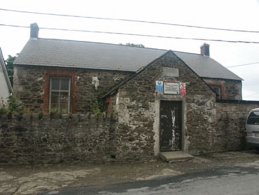 Rathnew National Schoolschool · 1.2 mi
 Font in CommonsFont · 1.2 mi
 CastleCastle, unclassified · 1.2 mi
 European YewEuropean Yew · 1.2 mi
 IndicatedEnclosure · 1.4 mi
 Sessile OakSessile Oak · 1.7 mi
 Round MountCastle, motte · 2.0 mi
 Carrick MountainMountain / peak · 3.0 mi
 Glen Beach Cliff WalkWalking route · 3.4 mi
 Silver StrandBeach / strand · 3.8 mi
 Kilpoole BeachBeach / strand · 4.0 mi