What is recorded here
Situated on a gentle S-facing slope. Archaeological testing (18E0011) of an extensive area (dims c. 150m N-S; c. 6-80m NE-SW) when archaeological features were encountered throughout. These consisted largely of gullies and furrows but some pits with charcoal flecks were encountered. Evidence of at least three ditches (Wth 2m; D 0.55m plus; Wth 1.2m; Wth 0.7m) and some stake-holes were also encountered as well as a burnt mound (WX033-042----). No features were fully excavated but a single flint and a sherd of prehistoric pottery were recovered. (McLoughlin 2018, 5-10)
Compiled by: Michael Moore
Date of upload: 7 January, 2019
The monument record does not grant public access. Check the route and ask the landowner before entering private land.
- What survives
- Recorded monument
Places near here
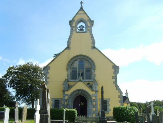 Saint Cyprian's Catholic Churchchurch/chapel · 68 yd
 Iona Housepresbytery/parochial/curate's house · 168 yd
 Holy well in Ballymore (ballaghkeen By.)Holy well · 232 yd
 1798 MemorialMemorial · 1601 yd
 CastleCastle, unclassified · 1.1 mi
 Font (present location) in Ballinacoola MoreFont (present location) · 1.4 mi
 Ballywish SouthForest · 2.1 mi
 Ballinesker BeachBeach / strand · 2.3 mi
 Rectory Hall ForestWood · 2.5 mi
 Peace GardenMemorial · 2.6 mi
 IndicatedCastle, unclassified · 2.6 mi
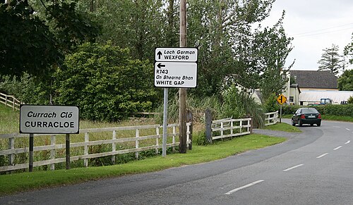 Curracloe BeachBeach / strand · 2.7 mi