What is recorded here
Situated on a N-facing slope overlooking the inner harbour of Wexford. Further archaeological testing during 2008 on an extension of the original licence (06E1089) identified the remains of two burnt mounds (WX037-093002-; WX037-093003-) and an area with pits (WX037-093001-). The four pits (dims c. 1m x c. 1-2m) contain burnt material and are widely separated but run in a line N-S (L c. 7m) parallel with a N-S filed bank c. 40m to the E. All the features await resolution. (Stafford 2010, 6, fig. 5)
Compiled by: Michael Moore
Date of upload: 7 January 2019
The monument record does not grant public access. Check the route and ask the landowner before entering private land.
- What survives
- Recorded monument
Places near here
 Fulacht fia in BallybogganFulacht fia · 333 yd
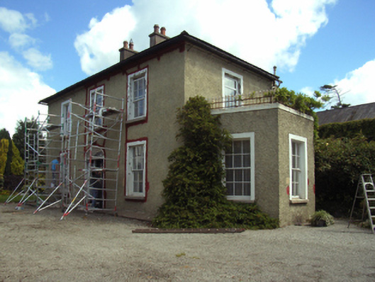 Slaneyhill Housefarm house · 606 yd
 Park Housewalled garden · 616 yd
 Fulacht fia in CarricklawnFulacht fia · 648 yd
 Ferrycarrig AmbushMemorial · 1267 yd
 Ferrycarrig Tower HouseArchaeological place · 1534 yd
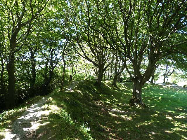 Ring FortHeritage attraction · 1547 yd
 Passage TowerCastle, tower house · 1552 yd
 Portal TombHeritage attraction · 1554 yd
 Dawn RedwoodDawn Redwood · 1.2 mi
 16th Irish DivisionMemorial · 1.4 mi
 Siege of Wexfordsiege · 1.7 mi