What is recorded here
Archaeological testing and monitoring (04E0871) identified a gully (Wth 0.65-9m; max. D 0.35m) part of which (L 8.5m) was excavated. Just to the S there were about 8 pits (dims. 0.35m x 0.5m; D 0.15m to 0.85m x 0.8m; max. D 0.35m) that had been disturbed by plough furrows. Prehistoric lithics and medieval Leinster ware were recovered from most contexts suggesting that considerable plough damage had occurred. (McLoughlin 2007b, 460, No. 1790; 2008b, 5-9)
Compiled by: Michael Moore
Date of upload: 18 June, 2012
The monument record does not grant public access. Check the route and ask the landowner before entering private land.
- What survives
- Recorded monument
Places near here
 The Cahore Polders and DunesNature reserve · 952 yd
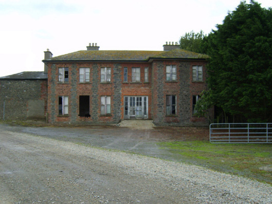 Ballywater Housefarm house · 1194 yd
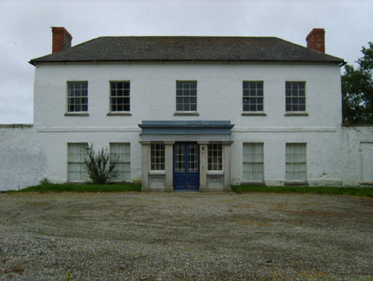 Peppard's Castlecountry house · 1.1 mi
 Site of Morris CastleCastle, unclassified · 1.4 mi
 Morriscastle BeachBeach / strand · 1.4 mi
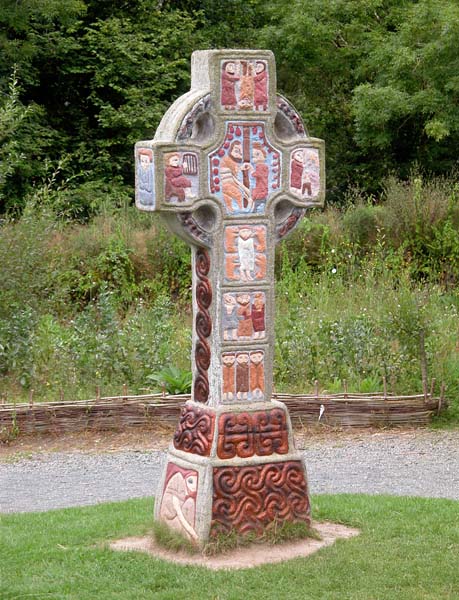 Cross in RaheenluskCross · 1.4 mi
 Castle Anneslwy (in ruins)Bawn · 1.7 mi
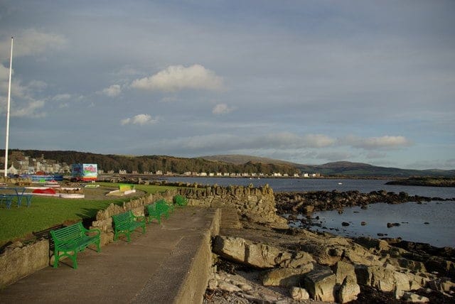 Newtown BeachBeach / strand · 1.8 mi
 Shrule Deer FarmHeritage attraction · 1.9 mi
 Holy WellHoly well · 1.9 mi
 Gilligan's CaveCave · 2.8 mi
 Wexford - TexasMemorial · 2.9 mi