What is recorded here
Half a metre of topsoil and a shallow trench turned up a post-medieval quarry, two possible robber trenches and the shallow clay-cut foundation of the bastion itself, which does not return south into the ground but stands as a cladding. Four metres further west, a parallel north-south ditch yielded late medieval pottery and animal bone, hinting that an earthen bank between the cuts may have done the work of the town wall before stone took its place. The wall angle at Navan is therefore less a continuous fortress line than a layered edge, with quarry, robbery and rebuilding all written in clay.
Located just inside the NW angle of the Navan town wall with a surviving portion of that wall forming part of the boundary at N, the ground being level and flush with its top inside but c. 4m lower outside the surviving wall. Archaeological testing (00E0767) by Donald Murphy recorded the natural gravel and sand close beneath the surface inside the wall, except where it was disturbed by eighteenth and nineteenth century walls or quarries (excavations.ie 2000:764). No buried section of the town wall was identified but some ditches or cuts were on its line. One large cut (Wth 9m; D 2m) inside the wall, filled with brown clay and rubble, red bricks and modern pottery is probably a post-medieval quarry. Two similar features (Wth 3m; 2m) further W, filled with a mix of brown clay and gravel with some animal bone but no artefacts could be robber trenches on the line of the wall running S. A trench across the line of the town wall at N recorded a straight-sided cut (Wth 1.9m; D 2.1m) filed with sandy brown clay which can only be interpreted as a robber-trench for material from the town wall, although no dating material was recovered. A trench against the S side of the surviving town wall uncovered the cut (Wth of top 1.4m; Wth of base 0.8m; D 3m) for its construction but the W end of the bastion did not return S into the site so that it is only a cladding. At the E end of the site the foundations of an eighteenth or nineteenth century structure with cobbled surfaces was encountered over the natural gravel. (Murphy 2000)
Further work (02E1456) by I. Russell uncovered two further sections of the ditches at the W edge of the site where the wall was thought to turn S (excavations.ie 2002:1497). The W feature (max. Wth 2.2m; D 1.4m) was filled with silts and gravels. About 4m to the E was a roughly parallel N-S ditch (Wth 2.7m; D 1m) filled with silts and loam from which late medieval pottery and some animal bone was recovered. It is possible that an earthen bank between them, of which there was no trace, could have functioned as the town wall. (Russell 2002)
Compiled by: Michael Moore
Date of upload: 29 March 2023
Murphy, Donald 2000 Report on an Archaeological Assessment of a commercial development at Abbey Road, Navan, Co. Meath. Licence: 00E0767. Unpublished report, Archaeological Consultancy Services
Russell, I. 2002 Rescue Excavation and suggested mitigation strategy. Licence: 02E1456. Unpublished report, Archaeological Consultancy Services
The monument record does not grant public access. Check the route and ask the landowner before entering private land.
- What survives
- Recorded monument
Places near here
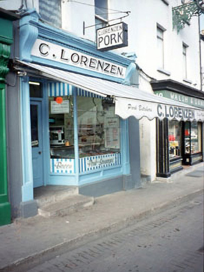 C. Lorenzenhouse · 99 yd
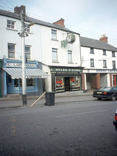 Walsh and Sonshouse · 99 yd
 Town defences in Townparks (navan Lower By.)Town defences · 167 yd
 Font in Abbeyland SouthFont · 172 yd
 The RampartWood · 382 yd
 CastleCastle, motte · 844 yd
 Nangle CourtMemorial · 1531 yd
 Blackcastle DemesneWood · 1.4 mi
 Donaghmore Round TowerHeritage attraction · 1.4 mi
 Rathaldron Ho.Castle, tower house · 1.7 mi
 Carn HillMountain / peak · 2.5 mi
 BohermeenMountain / peak · 3.7 mi