
What is recorded here
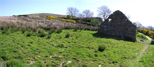
Two burials and an enclosure still mark Muldonagh, though no date or name has emerged to explain them. The line around the dead may have been a fence, a ditch or a boundary drawn in soil, but the act is clear: someone separated these lives from the ordinary field. That much remains visible even when every other detail has dissolved.
The official Northern Ireland record identifies this as ENCLOSURE & 2 BURIALS. Recorded period: UNCERTAIN. The official map point was placed at the centre of the recorded archaeological site from the source map reference.
The monument record does not grant public access. Check the route and ask the landowner before entering private land.
- What survives
- Recorded monument
Places near here
 ENCLOSURE in CoolnacolpaghENCLOSURE · 839 yd
 ENCLOSURE- rath? in BallyhanedinENCLOSURE- rath? · 1.7 mi
 Banagher Presbyterian ChurchChurch · 2.8 mi
 Loughermore ForestForest · 3.1 mi
 Claudy bombingbomb attack · 3.1 mi
 MULTIPERIOD CHURCH & GRAVEYARD (Early Christain-C18th) in CumberMULTIPERIOD CHURCH & GRAVEYARD (Early Christain-C18th) · 3.5 mi
 LoughermoreMountain / peak · 3.8 mi
 The Ness WoodWood · 4.1 mi
 Learmount CastleCountry House · 4.5 mi
 Brackfield BawnCastle · 4.8 mi
 Ballydonegan SweathouseVisitor information · 5.1 mi
 CrockdooishMountain / peak · 5.7 mi
Other information
Photo: Credit not shown in the picture search · Rights wording not checked; contact us if this picture should be removed