What is recorded here
Mullafernaghan in County Down may hide a rath or enclosure, though uncertainty still surrounds its exact identity. The land itself remembers the shape of exclusion and protection, inviting imagination to complete what measurement leaves unfinished. A person standing there at dusk might picture a fence drawn not around property but around attention, marking the boundary between the known world and the life it contains.
The official Northern Ireland record identifies this as Enclosure/ Rath (Possible). Recorded period: UNCERTAIN. The official map point was placed at the centre of the recorded archaeological site from the source map reference.
The monument record does not grant public access. Check the route and ask the landowner before entering private land.
- What survives
- Recorded monument
Places near here
 LARGE ENCLOSURE in BallymoneyLARGE ENCLOSURE · 1239 yd
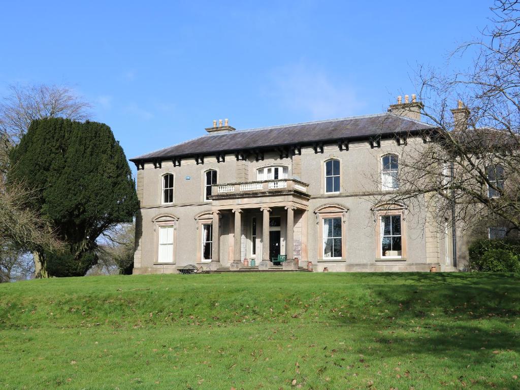 ENCLOSURE in BallymoneyENCLOSURE · 1546 yd
 Magherally Presbyterian ChurchChurch · 1657 yd
 CHURCH (Listed) & GRAVEYARD in MagherallyCHURCH (Listed) & GRAVEYARD · 1.2 mi
 Seapatrick Parish ChurchChurch · 2.2 mi
 Downshire BridgeMemorial · 2.4 mi
 Game of Thrones Studio TourHeritage attraction · 2.4 mi
 BAWN?: GILLHALL CASTLE in GreenanBAWN?: GILLHALL CASTLE · 3.0 mi
 FE McWilliam Gallery and StudioGallery · 3.8 mi
 Dromore CastleCastle · 4.1 mi
 Waringstown Red WoodsForest · 5.0 mi
 KnockiveaghMountain / peak · 7.0 mi