What is recorded here
ENCLOSURE is the act of seizing common land and denying people their ancient rights to use it. In County Down, that idea may have turned shared fields into private property, forcing locals to lose access they had enjoyed for generations. The loss would have felt like betrayal because the land had belonged to everyone through custom, not paper.
The official Northern Ireland record identifies this as ENCLOSURE - rath?. Recorded period: UNCERTAIN. The official map point was placed at the centre of the recorded archaeological site from the source map reference.
The monument record does not grant public access. Check the route and ask the landowner before entering private land.
- What survives
- Recorded monument
Places near here
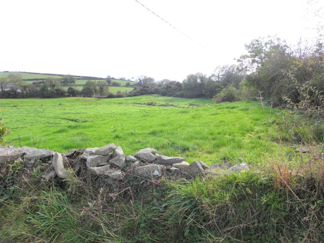 Wallace HillMountain / peak · 1299 yd
 ENCLOSURE -cashel? in BallynacraigENCLOSURE -cashel? · 1.1 mi
 Former market houseOffice · 1.4 mi
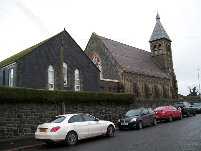 The Square Car ParkVisitor information · 1.4 mi
 Historic Settlement Crossgar in CrossgarHistoric Settlement Crossgar · 1.4 mi
_-_geograph.org.uk_-_1950440.jpg?width=1280) Inch Parish ChurchChurch · 2.0 mi
Inch Parish ChurchChurch · 2.0 mi Ringmore PointHeadland · 2.3 mi
 Ringmore BayBay · 2.3 mi
 Strangford WalkWalking route · 2.3 mi
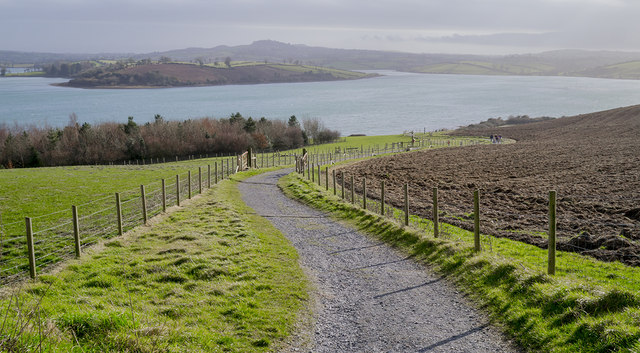 Delamont Country ParkVisitor information · 2.3 mi
 Glasswater WoodWood · 2.4 mi
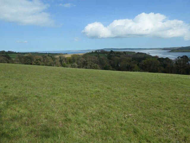 Nut WoodWood · 2.4 mi