What is recorded here
Knockbreckan holds a faint circular scar the official record hedges as a possible rath. That question mark preserves more truth than a confident label because the land still withholds its shape. A family may have drawn a boundary there, excluded a neighbour or enclosed a sacred anomaly. The uncertainty is not a failure of knowledge; it is the place refusing to become ordinary.
The official Northern Ireland record identifies this as ENCLOSURE (RATH?). Recorded period: UNCERTAIN. The official map point was placed at the centre of the recorded archaeological site from the source map reference.
The monument record does not grant public access. Check the route and ask the landowner before entering private land.
- What survives
- Recorded monument
Places near here
 ENCLOSURE in BallymaconaghyENCLOSURE · 1147 yd
 ENCLOSURE (RATH?) in BallymaconaghyENCLOSURE (RATH?) · 1247 yd
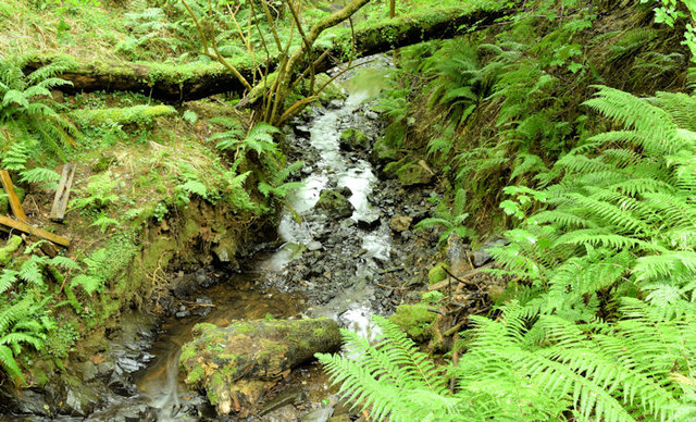 Cregagh GlenWood · 1.5 mi
 Lisnabreeney WaterfallWaterfall · 1.5 mi
_parish_church,_Belfast_(August_2014)_-_geograph.org.uk_-_4107390.jpg?width=1280) Knockbreda Parish ChurchChurch · 1.7 mi
Knockbreda Parish ChurchChurch · 1.7 mi Conn O'Neill's Castle SiteFort · 1.8 mi
 Highway to Health, CastlereaghWalking route · 2.0 mi
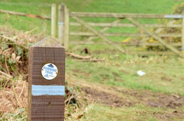 Lagan TrailWalking route · 2.1 mi
 Belvoir Park ForestForest · 2.1 mi
,_St_John's_Presbyterian_church,_Newtownbreda,_Belfast_(July_2017)_-_geograph.org.uk_-_5466032.jpg?width=1280) St. John's Presbyterian ChurchChurch · 2.1 mi
St. John's Presbyterian ChurchChurch · 2.1 mi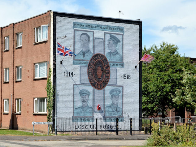 Victoria Crosses of the 36th Ulster DivisionMemorial · 2.2 mi
 Braniel HillMountain / peak · 2.3 mi