
What is recorded here
ENCLOSURE is the act of taking shared land and closing it to the people who once walked it freely. In County Down, that idea may have turned open fields into private property, forcing commoners off the soil they knew by heart. The loss was not merely economic; it was a severance from the living rhythm of the land.
The official Northern Ireland record identifies this as ENCLOSURE - rath?. Recorded period: UNCERTAIN. The official map point was placed at the centre of the recorded archaeological site from the source map reference.
The monument record does not grant public access. Check the route and ask the landowner before entering private land.
- What survives
- Recorded monument
Places near here
 ENCLOSURE? in BallymurphyENCLOSURE? · 1232 yd
 ENCLOSURE in BallymurphyENCLOSURE · 1.1 mi
 Lisburn Street North Car ParkVisitor information · 1.7 mi
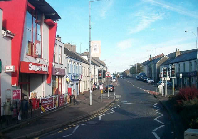 Lisburn Street South Car ParkVisitor information · 1.8 mi
 Battle of Ballynahinchbattle · 1.9 mi
 First Presbyterian ChurchChurch · 1.9 mi
 Windmill HillMountain / peak · 2.1 mi
 Windmill Hill WoodWood · 2.2 mi
 Corn MillMill · 2.4 mi
 Glen LoaninWalking route · 3.0 mi
 Darby's LoaninWalking route · 3.1 mi
 FORTIFICATION: McCARTAN'S CASTLE (unlocated) in MagheratimpanyFORTIFICATION: McCARTAN'S CASTLE (unlocated) · 3.6 mi
Other information
Photo: Credit not shown in the picture search · Rights wording not checked; contact us if this picture should be removed