
What is recorded here
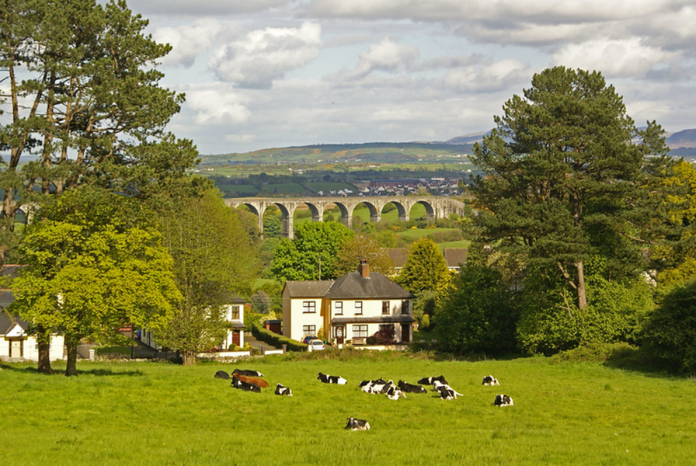
Postnet’s Fort rises in Killymaddy, County Armagh, a buried enclosure where human hands shaped the earth before written memory. The hill may have served as a refuge, a boundary marker, or a sacred anchor for lives now lost. Its name suggests a person or lineage once strong enough to claim the land, though time has worn the details smooth. The earth still holds the shape of that choice.
The official Northern Ireland record identifies this as ENCLOSURE: POSTNET'S FORT or KILLYMADDY HILL. Recorded period: UNCERTAIN. The official map point was placed at the centre of the recorded archaeological site from the source map reference.
The monument record does not grant public access. Check the route and ask the landowner before entering private land.
- What survives
- Recorded monument
Places near here
 ENCLOSURE in DrumruskENCLOSURE · 1416 yd
 ENCLOSURE in Drumsallan LowerENCLOSURE · 1759 yd
 Dyan Corn MillMill · 1.8 mi
 CHURCH & 7 CROSSES (3 removed to other sitesCHURCH & 7 CROSSES (3 removed to other sites, c.f. Tyr 71:1 & Arm 11:3 & 15:2) · 2.0 mi
 Battle of BenburbMajor battlefield · 2.1 mi
 CrannogIsland · 2.8 mi
 Navan FortArchaeological place · 4.4 mi
 Mullacreevie ambushambush · 5.4 mi
 Abbey StreetVisitor information · 5.7 mi
 No 5 Vicars' HillMuseum · 5.7 mi
 Boer War memorialMemorial · 5.9 mi
 Crimean CannonMemorial · 5.9 mi
Other information
Photo: Credit not shown in the picture search · Rights wording not checked; contact us if this picture should be removed