What is recorded here
Near the edge of a ridge overlooking the River Nore, c. 200m to the E, and its flood plain. A large roughly circular enclosure (diam. c. 80m) identified as the cropmark of a wide deep fosse on aerial photographs (CUCAP AJQ039, 9 July 1964; BDI012, 14 July 1970; BGG035, 16 July 1971). There is a clear entrance in the E quadrant. A housing estate was subsequently built over this monument.
Compiled by: Jean Farrelly
Date of upload: 16 September 2020
The monument record does not grant public access. Check the route and ask the landowner before entering private land.
- What survives
- Recorded monument
Places near here
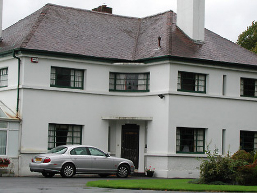 Weston Househouse · 371 yd
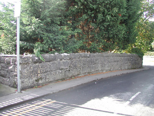 bridgebridge · 418 yd
 Enclosure in TalbotsinchEnclosure · 599 yd
 Kilkenny AFC & Kilkenny & District Soccer LeagueMemorial · 753 yd
 Jurassic NewparkHeritage attraction · 795 yd
 Troy's GateMemorial · 813 yd
 Black PoplarBlack Poplar · 820 yd
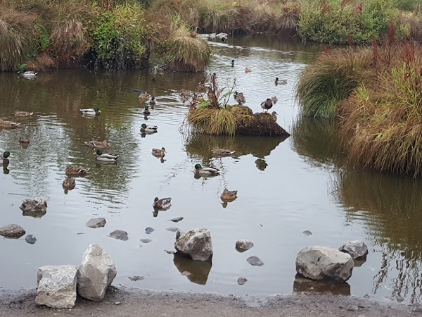 Newpark Marsh ParkNature reserve · 881 yd
 Stephens Barracks MuseumMuseum · 908 yd
 Grave YardGraveyard · 946 yd
 Saint Canice's Cathedral Round TowerViewpoint · 986 yd
 Kilkenny Old Jail and CourthouseVisitor information · 1288 yd