
What is recorded here
In flat to gently undulating open pastureland. Aerial reconnaissance (ASGAP 190:90) revealed an enclosure which, on inspection, proved to be circular in plan (diam. c. 80m) and very poorly preserved. It was defined by a low scarp from SW through W to ENE; otherwise no visible surface trace survived.
Compiled by: Galway Archaeological Survey, UCG
Date of upload: 28 August 2019
The monument record does not grant public access. Check the route and ask the landowner before entering private land.
- What survives
- Recorded monument
Places near here
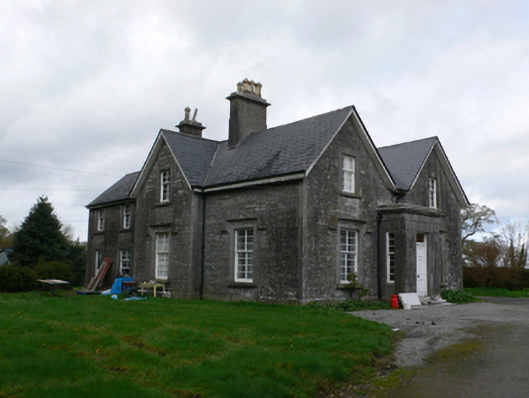 Sycamore Hillfarm house · 947 yd
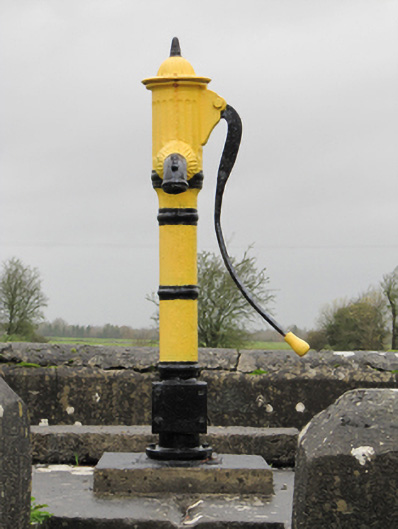 water pumpwater pump · 1278 yd
 Oghil Castle (in ruins)Castle, tower house · 1363 yd
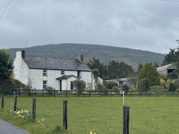 dermot and grainnes bedMonument · 1.1 mi
 Caldragh FortEcclesiastical enclosure · 1.1 mi
 Silver FirSilver Fir · 1.6 mi
 Ballymore CastleCastle, tower house · 1.7 mi
 Redmond HillMountain / peak · 2.2 mi
 European ashEuropean ash · 2.8 mi
 Ardcarn IslandsIslet · 3.7 mi
 Sugarloaf HillMountain / peak · 4.1 mi
 Clonfert CathedralHeritage attraction · 4.4 mi
Other information
Photo: Credit not shown in the picture search · Rights wording not checked; contact us if this picture should be removed