What is recorded here
Cropmark of circular-shaped bivallate enclosure (approx. diam. 50m; overall ext. diam. 64m) visible on Google earth aerial imagery.
See attached image of Google Earth photograph taken 02/07/2018
Compiled by: Caimin O'Brien based on details provided by Edward O'Riordan
Date of upload: 21 October 2019
The monument record does not grant public access. Check the route and ask the landowner before entering private land.
- What survives
- Recorded monument
Places near here
 Enclosure in NewdownEnclosure · 1 yd
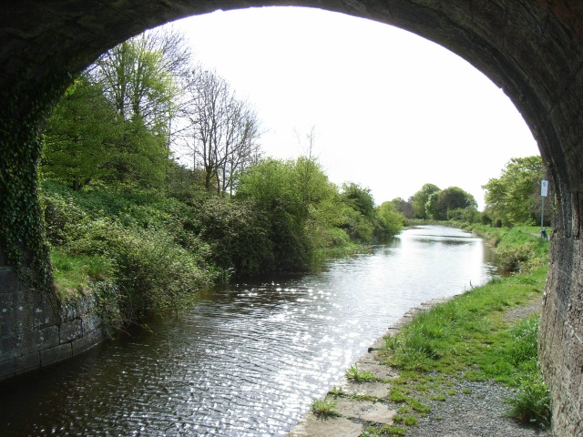 bridgebridge · 486 yd
 Woodfordhouse · 795 yd
 Enclosure in ClongawnyEnclosure · 1.3 mi
 CastleCastle, unclassified · 1.9 mi
 Heathstown CastleCastle, tower house · 2.1 mi
 United Nations War MemorialMemorial · 5.1 mi
 Saint Brigid's WellSpring · 5.6 mi
 GinkgoGinkgo · 5.6 mi
 Long PlantingForest · 5.8 mi
 Croppies' GraveMemorial · 11 mi
 level crossinglevel crossing · 986 yd