What is recorded here
Enclosure is a large pear-shaped ridge in County Galway, marked by two banks, a ditch and a narrow causewayed gap that may have been its entrance. It stands close to a townland boundary and near a possible rath, suggesting a lived landscape rather than a forgotten shape. The chambered tomb inside its southeast quadrant hints that prayer, memory and everyday life may have shared one bounded space.
On a ridge in grassland, c. 100m N of the td. boundary. Poorly preserved pear-shaped enclosure (N-S 76m, E-W 76m) defined by two banks and an intervening fosse. The inner bank is visible at N and S; elsewhere a scarp forms the enclosing element. The fosse and outer bank survive from SW to N. A causewayed-gap (Wth 3.5m) at NW may indicate the original entrance. Within SE quadrant of the interior is a CBG (GA073-145001-). Its presence, when coupled with the size of this monument and its proximity to the td. boundary, raises the possibility that it could be an early ecclesiastical enclosure. A possible rath (GA073-165----) lies c. 90m to the NNE.
The above description is derived from the published 'Archaeological Inventory of County Galway Vol. II - North Galway'. Compiled by Olive Alcock, Kathy de hÓra and Paul Gosling (Dublin: Stationery Office, 1999).
Updated by: Olive Alcock
Date of revised upload: 11 May 2021
The monument record does not grant public access. Check the route and ask the landowner before entering private land.
- What survives
- Recorded monument
Places near here
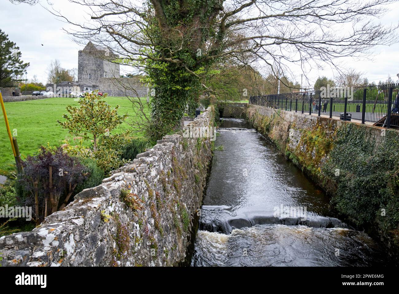 Enclosure in MoneyveenEnclosure · 296 yd
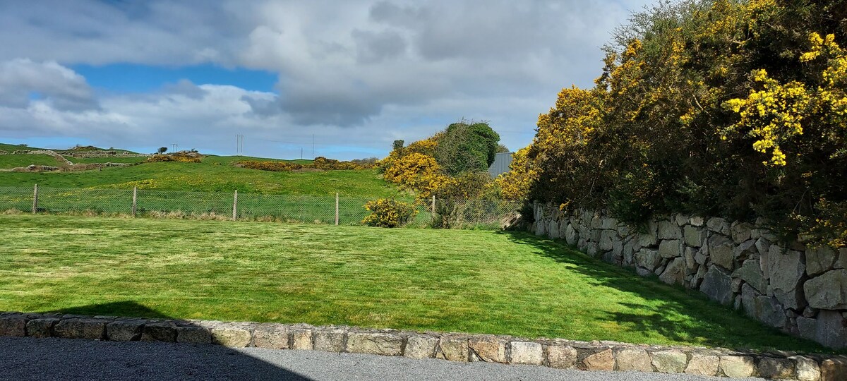 Enclosure in HillswoodEnclosure · 607 yd
 Trench's Monumentmausoleum · 1384 yd
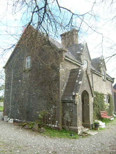 worker's houseworker's house · 1659 yd
 Castle (in Ruins)Castle, unclassified · 1.4 mi
 Large-leaved LimeLarge-leaved Lime · 1.5 mi
 Western RedcedarWestern Redcedar · 1.7 mi
 Kilconnell AbbeyHeritage attraction · 2.3 mi
 CastleCastle, unclassified · 2.6 mi
 Battle of Aughrim Interpretative CentreMuseum · 6.3 mi
 Battle of AughrimMajor battlefield · 6.8 mi
 The bloody HollowHeritage attraction · 7.1 mi