What is recorded here
Situated in demesne lands on the post-1700 Deerpark of Killua Castle located 550m to E. Ringfort (WM009-010----) 90m to N, two landscape features (WM009-009-/011----) located 160m to NNE. Cropmark of large roughly circular-shaped enclosure (approx. diam. 90m) visible on OSI aerial photographs. Potential archaeological monument although due to its large size could be a geological rather than archaeological feature.
Compiled by: Caimin O'Brien based on details kindly provided by Emmet Byrnes, Senior Archaeologist, Forest Service Inspectorate, Department of Agriculture, Food and the Marine
Date of upload: 3 May 2018
The monument record does not grant public access. Check the route and ask the landowner before entering private land.
- What survives
- Recorded monument
Places near here
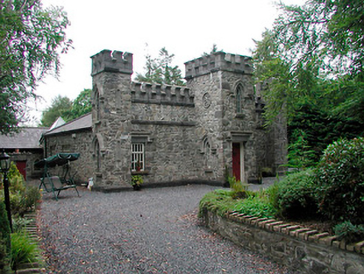 Killua Castlegate lodge · 319 yd
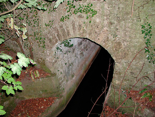 bridgebridge · 330 yd
 OutlinedFairy fort / earthen ringfort · 357 yd
 CastleCastle, unclassified · 1.5 mi
 Moneen WoodWood · 1.6 mi
 Beggarbush WoodWood · 1.7 mi
 Dervotstown CastleCastle · 1.7 mi
 Drewstown LittleMountain / peak · 1.8 mi
 Stone CrossCross, Wayside cross · 2.1 mi
 CloncatMountain / peak · 2.9 mi
 BoglandMemorial · 3.5 mi
 Causey FarmHeritage attraction · 3.5 mi