
What is recorded here
On a slight E-facing slope in pasture. A subcircular area (c. 95m NE-SW) defined by two banks visible on Google Earth (imagery date 10 February 2021). Reported to the National Monuments Service by Jean-Charles Caillère. The enclosure is truncated at SE by the Clarecastle to Clooney road. The driveway to Kilbreckanbeg House cuts across the W portion of the enclosure. This driveway is along the line of a field boundary shown on the OS 6-inch 1836 map leading to Kilbreckanbeg House. A rath (CL034-252----) lies c. 130m to the W.
The following image has been uploaded:
CL034-254----_01.jpg Google Earth image 10 February 2021
Compiled by: Mary Tunney
Date of upload: 18 January 2022
The monument record does not grant public access. Check the route and ask the landowner before entering private land.
- What survives
- Recorded monument
Places near here
 Carntemple Church (in ruins)Church · 1300 yd
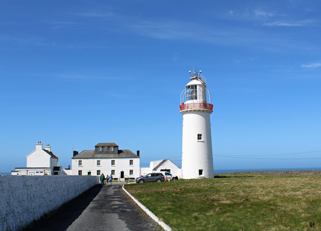 Enclosure in KillowEnclosure · 1347 yd
 Enclosure in Ballyvonnavaun (islands By.)Enclosure · 1478 yd
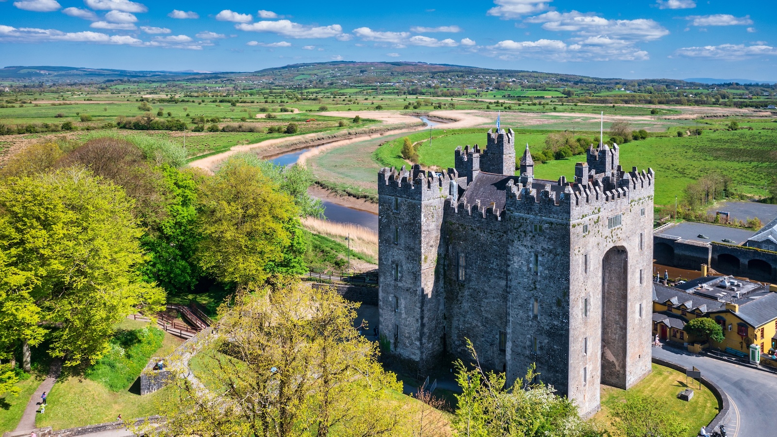 Castletown Castle (in Ruins)Castle, tower house · 1.2 mi
 Killavella Church (in Ruins)Church · 1.3 mi
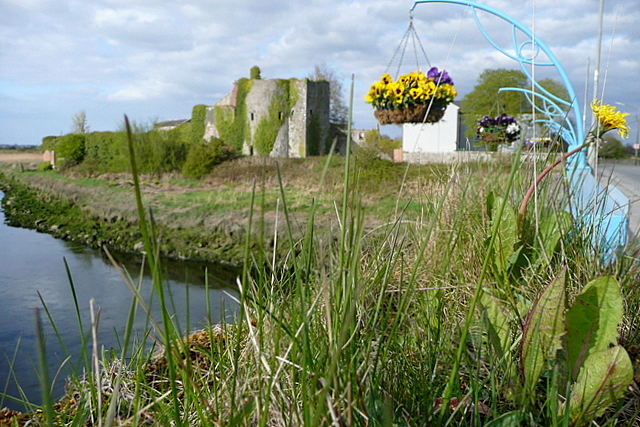 Clare CastleCastle · 1.9 mi
 G.A.A. Commemorative StoneMemorial · 2.1 mi
 Irish Famine MemorialMemorial · 2.1 mi
 Clare MuseumMuseum · 2.6 mi
 Ennis AbbeyMuseum · 2.6 mi
 Post Office FieldNature reserve · 2.8 mi
 Kilcatherine GraveyardWood · 2.8 mi
Other information
Photo: Credit not shown in the picture search · Rights wording not checked; contact us if this picture should be removed