What is recorded here
Situated on a broad N-S ridge. The cropmark of a large enclosure (dims. c. 145m NE-SW; c. 115m NW-SE) with straight sides at SE and SW is faintly visible on aerial photographs (MM (8) 10-15; (57) 0, 1). This is either a field boundary or the perimeter of what might have been an enclosed wood.
The above description is derived from the published 'Archaeological Inventory of County Wexford' (Dublin: Stationery Office, 1996). In certain instances the entries have been revised and updated in the light of recent research.
Compiled by: Michael Moore
Date of upload/revision: 20 March, 2013
The monument record does not grant public access. Check the route and ask the landowner before entering private land.
- What survives
- Recorded monument
Places near here
 Raheenduff Housewalled garden · 415 yd
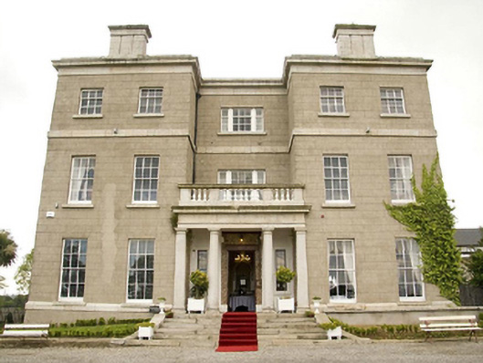 Horetown Housecountry house · 868 yd
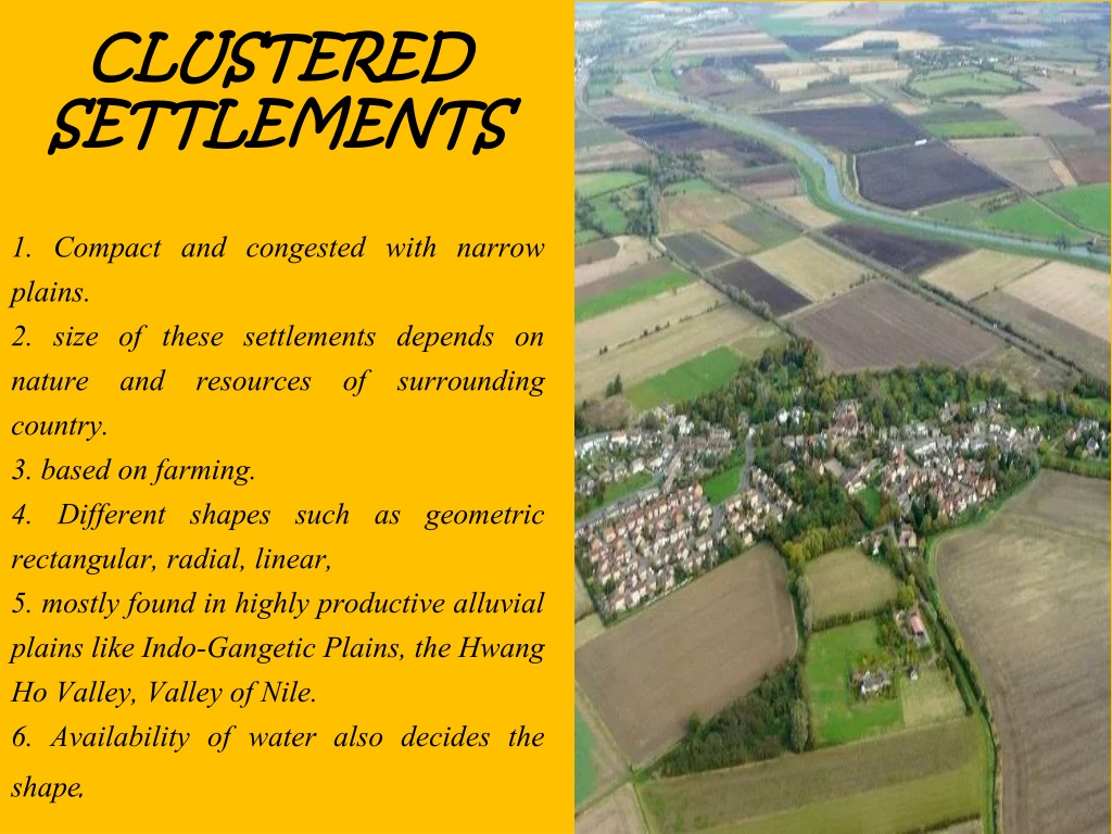 Settlement cluster in CoolcliffeSettlement cluster · 1.3 mi
 Ecclesiastical enclosure in BallyclemockEcclesiastical enclosure · 1.3 mi
 CastleCastle, tower house · 1.4 mi
 Bawn in Tracystown WestBawn · 1.4 mi
 Coolcliffe HouseRuins · 1.7 mi
 Carrickbyrne HillMountain / peak · 4.1 mi
 Camaross HillMountain / peak · 4.4 mi
 Glenour MonumentMemorial · 4.9 mi
 Carrig-On-BannowVisitor information · 5.6 mi
 Lockheed Hudson AM885 MemorialMemorial · 5.7 mi