What is recorded here
Situated in pasture. Depicted as a circular-shaped earthwork and annotated on the 1819 Magan Estate Map as a ‘Fort’ (NLI 14A 21 (5)). Monument described in 1983 as no surface remains visible. According to local information, this is referred to as the ‘fort field’. A large, roughly semi-circular shaped area (diam. approx. 68m) defined by the arc of a field boundary from WSW-W-N-NE and continuing as a curvilinear cropmark from NE-E-ESE is visible on Digital Globe aerial photography. A post-1700 field boundary running ENE-WSW is visible traversing the SE quadrant, no cropmark visible on the SE side of field boundary.
Compiled by Alison McQueen, Vera Rahilly and Caimin O’Brien.
Date of upload: 03 September 2019
The monument record does not grant public access. Check the route and ask the landowner before entering private land.
- What survives
- Recorded monument
Places near here
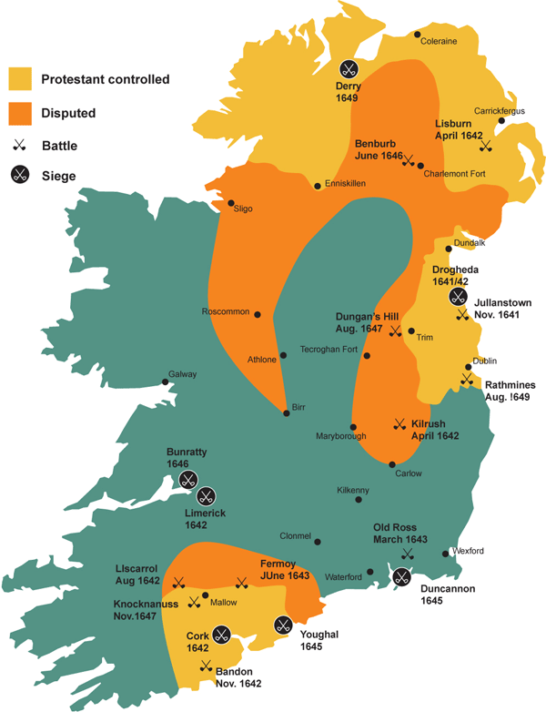 Partially indicatedEcclesiastical enclosure · 624 yd
 Site of CastleCastle, unclassified · 926 yd
 Boleyvillish CastleCastle · 1137 yd
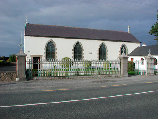 Catholic Church of the Assumptionchurch/chapel · 1391 yd
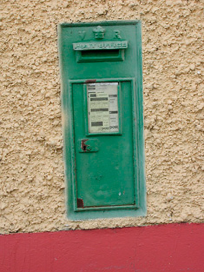 post boxpost box · 1396 yd
 Font (present location) in TogherstownFont (present location) · 1399 yd
 Hill of UisneachMountain / peak · 1.5 mi
 Ancient Ring FortWood · 1.7 mi
 European ashEuropean ash · 2.4 mi
 KnockastiaMountain / peak · 5.8 mi
 Abbeyshrule AbbeyRuins · 7.7 mi
 Guest ServicesVisitor information · 8.4 mi