What is recorded here
Situated on a slight natural rise, in relatively low-lying, wet pasture. Hut site (WM017-113----) c. 155m to W. Depicted on 1837 ed. OS 6-inch map as a roughly oval-shaped enclosure. Monument visible today as a roughly oval-shaped earthwork on Digital Globe aerial photography. Described in 1975 as a large irregular-shaped area (approx. dims. 75m E-W; 46m N-S) enclosed by a poorly preserved earth and stone bank with traces of an external fosse. The bank is much disturbed by modern gaps and the original entrance is not recognisable. The interior has a number of large stones and has been disturbed by relatively modern cultivation.
Compiled by: Alison McQueen, Vera Rahilly and Caimin O’Brien
Date of upload: 12 December 2018
The monument record does not grant public access. Check the route and ask the landowner before entering private land.
- What survives
- Recorded monument
Places near here
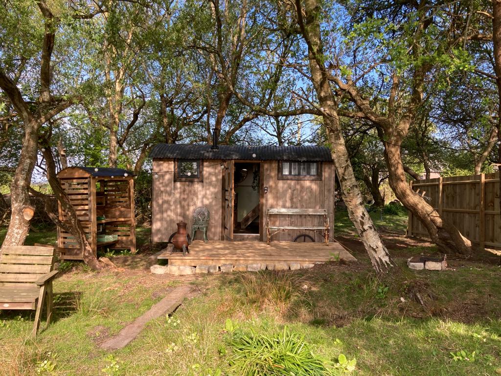 Hut site in CorkanHut site · 272 yd
 Site of AbbeyReligious house, unclassified · 365 yd
 Saint Mary's Catholic Churchchurch/chapel · 534 yd
 Milltown Castle in ruinsCastle, unclassified · 889 yd
 Ancient Ring FortWood · 1678 yd
 Rathcastle Househouse · 1710 yd
 RathconrathCastle, motte · 1.5 mi
 Sessile OakSessile Oak · 4.1 mi
 Abbeyshrule AbbeyRuins · 5.0 mi
 Craft WorkshopHeritage attraction · 6.4 mi
 Guest ServicesVisitor information · 6.4 mi
 Goldsmith Birthplace, PallasVisitor information · 6.5 mi