
What is recorded here
On the lower SE-slopes of Clonmantagh Hill. A large oval enclosure (dims. c. 85m NE-SW; c. 68m NW-SE), defined by a low bank or scarp, visible on satellite imagery (Google Earth, imagery date 24 March 2022 and DigitalGlobe, imagery date 2011-2013), identified and reported by Jean-Charles Caillère. There is a small area of quarrying in the NE sector and though the monument is not indicated on any OS 6-inch map, this quarry, with a limekiln, is indicated on the 1st ed. OS 6-inch map.
See attached imagery:
KK012-101----_01 Google Earth satellite imagery, imagery date 10 August 2022
KK012-101----_02 DigitalGlobe satellite imagery, imagery date 2011-2013
Compiled by: Jean Farrelly
Date of upload: 21 June 2023
The monument record does not grant public access. Check the route and ask the landowner before entering private land.
- What survives
- Recorded monument
Places near here
 Enclosure in Clomantagh LowerEnclosure · 761 yd
 Enclosure in Clomantagh UpperEnclosure · 770 yd
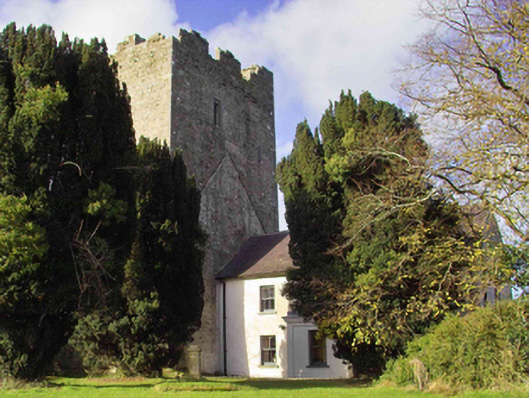 farm housefarm house · 994 yd
 CastleCastle, tower house · 1038 yd
 Clomantagh Church (in ruins)Church · 1171 yd
 Clomantagh HillMountain / peak · 1397 yd
 Killoshulan Castle (ruin)Castle · 1.2 mi
 Kildrinagh WoodForest · 2.7 mi
 John HelyMemorial · 2.7 mi
 DelaneyMemorial · 2.8 mi
 Street fieldArchaeological place · 3.9 mi
 Anker's IslandIsland · 8.1 mi
Other information
Photo: Credit not shown in the picture search · Rights wording not checked; contact us if this picture should be removed