
What is recorded here
Aerial photograph (GB89.Z.08) shows cropmark of an incomplete curvilinear enclosure. A patch of rough ground indicates the continuation of the former earthwork on the opposite side of the field boundary.
Compiled by: Dr. Gillian Barrett for the Archaeological Survey of Ireland
Date of upload: 15 May 2012
The monument record does not grant public access. Check the route and ask the landowner before entering private land.
- What survives
- Recorded monument
Places near here
 Clomantagh Upper Ringfort (rath)Archaeological place · 337 yd
 Enclosure in Clomantagh UpperEnclosure · 572 yd
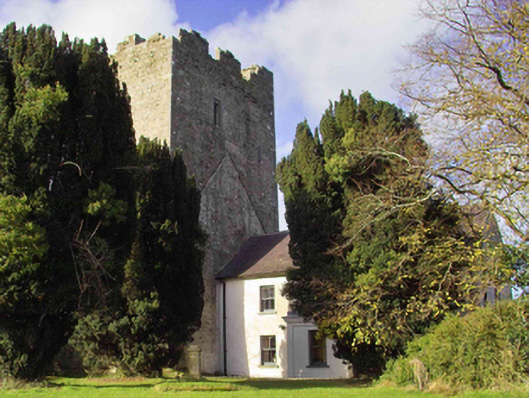 farm housefarm house · 993 yd
 CastleCastle, tower house · 1023 yd
 Clomantagh Church (in ruins)Church · 1075 yd
 Clomantagh HillMountain / peak · 1.0 mi
 Tubbrid Castle (in ruins)Castle, tower house · 1.3 mi
 Kildrinagh WoodForest · 2.3 mi
 John HelyMemorial · 2.7 mi
 DelaneyMemorial · 2.9 mi
 Street fieldArchaeological place · 4.3 mi
 Anker's IslandIsland · 8.5 mi
Other information
Photo: Credit not shown in the picture search · Rights wording not checked; contact us if this picture should be removed