
What is recorded here
On a fairly steep W-facing slope, in rough upland pasture. A large circular enclosure (diam. 68.5m N-S; 73m E-W) defined by a bank (H above ext. 0.9m; Wth 2.7m) in the W quadrant and by a shallow fosse (Wth 4.5m) to the N and SE-S. The NE quadrant is truncated by a field boundary running NW-SE. A townland boundary runs NE-SW along the N perimeter. The interior, which is under grass, follows the natural slope and the ground both inside and outside is uneven. The external fosse is heavily overgrown with thorny scrub.
There is another similar enclosure (KK020-004----) c. 190m to the NW.
Compiled by: Jean Farrelly
Date of upload: 9 November 2020
The monument record does not grant public access. Check the route and ask the landowner before entering private land.
- What survives
- Recorded monument
Places near here
 EnclosureEnclosure, large enclosure · 281 yd
 KnockaunteemeadeEnclosure · 375 yd
 Clara CastleCastle, tower house · 690 yd
 IndicatedBawn · 697 yd
 St. Mogarra’s WellSpring · 748 yd
 Clara Church (in ruins)Church · 1465 yd
 HawthornHawthorn · 1.1 mi
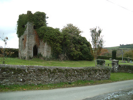 Freneystown Church (Tiscoffin)church/chapel · 1.5 mi
 The CummerForest · 3.8 mi
 Ivan PowerMemorial · 4.2 mi
 Michael CarthyMemorial · 4.3 mi
 Heritage Project Interpretation of the City Walls in Butler HouseVisitor information · 4.6 mi
Other information
Photo: Credit not shown in the picture search · Rights wording not checked; contact us if this picture should be removed