What is recorded here
No visible monument remains because the M3 motorway cut through Calliaghstown 1, yet the buried ditch still marks a large enclosure beside the stream. Its hazel charcoal dates to 662-869 AD, while later glaze and slag suggest the ditch stayed open through changing uses before silting shut. The road took the evidence, but the bend and depth remain recorded in the excavation report.
Located at the edge of a ridge in a low-lying area with a canalised SSW-NNE stream c. 25m to the W and lower ground to the S. Archaeological centre-line testing (04E1052) by G. McLoughlin (2005) at Testing Area 1 of Contract 5 of the M3 motorway (excavations.ie 2004:1194) identified archaeological features that were partially investigated (E003164) within the road-take by S. Reilly in interrupted sessions between September 2006 and April 2009 as Calliaghstown 1 (Reilly et al. 2008) when a large enclosure was recorded at the W end while a ring-ditch and a rectangular enclosure were revealed at the E end of the excavation.
In Area B/C, W of a SSW-NNE field bank and stream, a large ditch (Wth 3.6-6.6m; D 0.8-1.8m) extends WNW-ESE across area, curving N at its E end (exposed L 65m). The ditch appears to be surrounding a slightly raised area to the N. Most of this ditch is outside the excavated area but it is not known what the nature of the large enclosure is, although it may be a large rath or part of a field system. Three phases are noted in the ditch. A water-logged humus-rich basal fill had evidence of slippage, probably from an original bank along its N side. A deposit with hazel charcoal inclusions produced a C14 date of 662-869 cal. AD (Beta 247130). After this the ditch seemed to silt over a considerable time and black-glazed earthenware was in its upper fill of brown loamy clay with orange and charcoal inclusions that formed a final closing layer throughout its length. Few stratigraphic relationships could be established, but a NNE-SSW gully (Wth 1.5m; D 0.84m; exposed L 10m) and a pit (dims 2.9m x 1.6m; D 0.66m) originating at the bend of the large ditch could pre-date it. A parallel drain (Wth 1.8m; D 0.48m) c. 4m to the E also begins at the main drain. A large drainage ditch (Wth 4.2m; D 1.16m) extends SW (exposed L 30m) from the same bend in the primary ditch. This was filled with silty clays and stones and was re-cut possibly twice but it seems to have been open as long as the principal ditch. A late activity associated with this ditch is the digging of a pit (dims 2.2m x 0.8m; D 1.3m) through its fill, probably as a well. Two NNE-SSW drains (Wth 1-1.9m D 0.12-0.7m; L c. 20m) placed c. 4m apart at the W edge of the excavation may have been separated by a field bank. Many fragmentary furrows N of the main ditch follow the same alignment but stop short 2-8m from the main ditch. After the final closing of this ditch spreads with metal slag extended over the final fill of the main ditch. (Reilly et al. 2008, 6-10)
See the attached plans from Reilly et al. (2008, figs 7, 10)
Compiled by: Michael Moore
Date of upload: 4 March 2022
The monument record does not grant public access. Check the route and ask the landowner before entering private land.
- What survives
- Recorded monument
Places near here
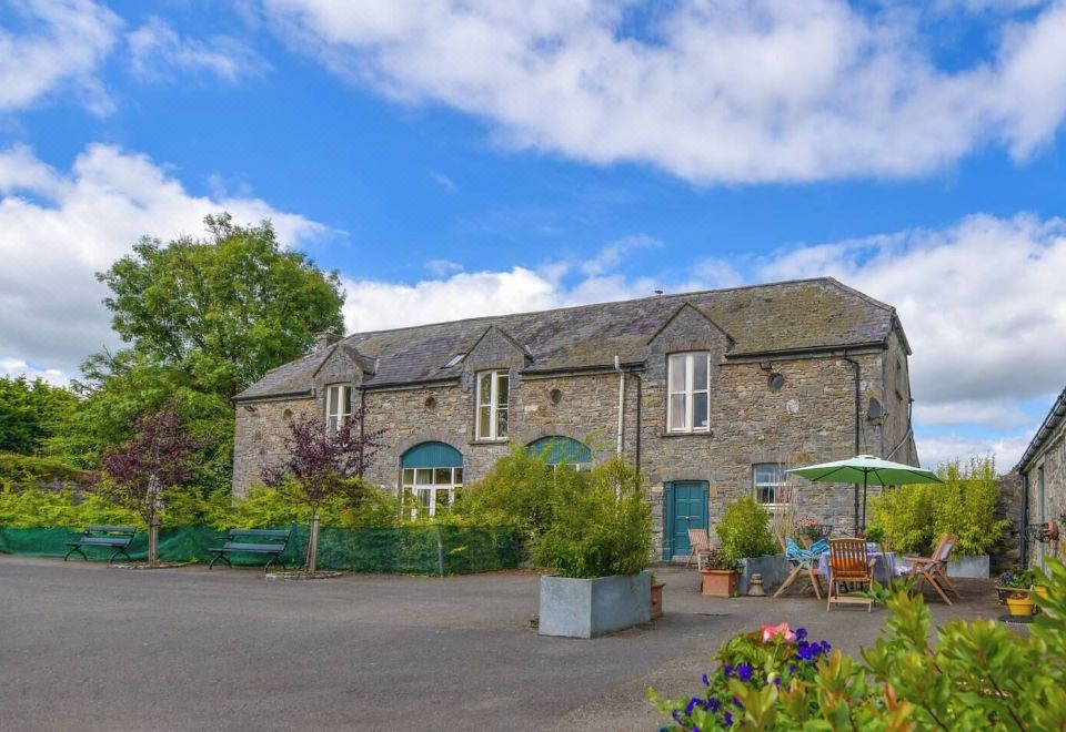 Enclosure in Calliaghstown (kells Upper By.)Enclosure · 111 yd
 Lackmelch RockfieldWood · 528 yd
 Enclosure in Boolies (kells Upper By., Burry Ed)Enclosure · 802 yd
 Long WoodForest · 988 yd
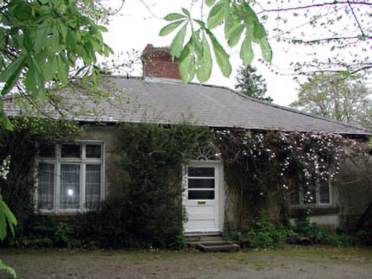 Westfield Cottagehouse · 1.1 mi
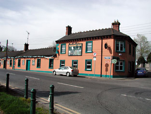 Railway Househotel · 1.1 mi
 The Pauper's CemeteryMemorial · 1.2 mi
 Great Famine ProjectMemorial · 1.2 mi
 CastleCastle, motte · 2.1 mi
 MountainpoleMountain / peak · 2.4 mi
 Castle ruinsCastle · 2.6 mi
 CloncatMountain / peak · 2.8 mi