What is recorded here
Enclosure is a vast curving boundary in County Kilkenny that swallows a hidden hillock whole. It predates the modern fields, suggesting human hands shaped the land before today's boundaries cut through it. The nearby church, graveyard and ancient firing pits imply a continuous chain of human presence, perhaps marking a place where water, memory and life still entangle.
A large irregular curvilinear enclosure (dims. c. 240m NE-SW; c. 175m NW-SE) which appears to be encompassing a natural hillock, the latter indicated by a 270 foot contour on the 1900 revision of the OS 6-inch map. Identified on satellite imagery (Digitalglobe, viewed 8 June 2020) and lidar (Open Topographic Data Viewer; 8 June 2020) by Jean-Charles Caillère. The enclosure predates the modern field system, with a field boundary running NE-SW through the centre of the enclosure and other field boundaries running NW-SE from the NE-SW boundary. The enclosure may relate to drainage at the base of the hillock. There is a church (KK020-025001-) and graveyard (KK020-025002-) c. 90m to the NE, an enclosure (KK020-113----) c. 220m to the NW and a fulacht fia (KK020-106----) and excavated features (KK020-107----; KK020-108----) c. 250m to the SE.
See attached:
KK020-118----_01 Digitalglobe satellite imagery
KK020-118----_02 Open Topographic Data Viewer, viewed 8 June 2020
Compiled by: Jean Farrelly
Date of upload: 9 September 2020
The monument record does not grant public access. Check the route and ask the landowner before entering private land.
- What survives
- Recorded monument
Places near here
 Enclosure in BlanchvillesparkEnclosure · 365 yd
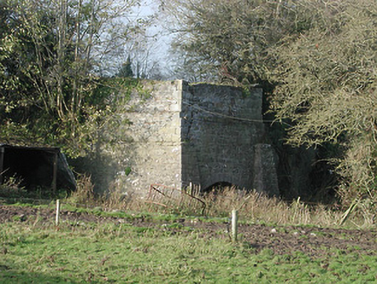 kilnkiln · 862 yd
 Moneynamuck Ringfort (rath)Archaeological place · 1181 yd
 Moonhall Castle (ruins)Castle · 1482 yd
 Gowran Railway Stationrailway station · 1572 yd
 HawthornHawthorn · 1.1 mi
 CastleCastle, motte · 1.7 mi
 St. Mogarra’s WellSpring · 2.4 mi
 Red BogForest · 3.7 mi
 Tullaherin Church and Round TowerVisitor information · 5.0 mi
 Time CapsuleMemorial · 5.1 mi
 Kilbline GraveyardArchaeological place · 5.6 mi