What is recorded here
In tillage. A large curvilinear enclosure (diam. c. 96m N-S; c. 88m E-W) identified as a cropmark on Google Earth satellite imagery (imagery date 10 August 2022) identified and reported by Jean-Charles Caillère. The enclosure is defined by a fosse which appears to be relatively straight in the NE and SW sectors, but is otherwise curving. A smaller enclosure (KK022-056----), also visible as a cropmark, is located c. 15m to the SW.
See attached photograph:
KK025-056----_01 Google Earth satellite imagery (10 August 2022)
Compiled by: Jean Farrelly
Date of revised upload: 13 June 2023
The monument record does not grant public access. Check the route and ask the landowner before entering private land.
- What survives
- Recorded monument
Places near here
 Enclosure in Ballykeefe HillEnclosure · 98 yd
 Ballykeefe WoodForest · 632 yd
 Ballykeeffe Mass RockNamed rock · 767 yd
 CrossCross · 978 yd
 Ballykeefe QuarryCliff · 1066 yd
 Ballykeefe AmphitheatreHeritage attraction · 1104 yd
 Church in ruinsChurch · 1201 yd
 Castle (in ruins)Castle, unclassified · 1385 yd
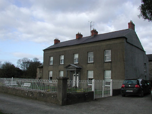 Shiptonfarm house · 1.2 mi
 Saint Brigid's WellSpring · 1.2 mi
 CastleCastle, unclassified · 1.6 mi
 GreatwoodForest · 1.9 mi