
What is recorded here
Located c. 150m NE of the River Slaney, in tillage. A large oval enclosure (diam. c. 87m N-S; c. 74m E-W), identified as the cropmark of a fosse/fosses on satellite imagery (Google Earth satellite imagery, 21 July 2021) by Jean-Charles Caillère. In the SW-W sector there are indications that the enclosure was defined by two fosses (Wth of each c. 3m), c. 5m apart.
See attached:
CW003-041----_01 Google Earth satellite imagery, 21 July 2021
Compiled by: Jean Farrelly
Date of upload: 7 December 2021
A large oval enclosure identified as a possible early-medieval ringfort, likely dating to between the 5th and 10th centuries. No specific folklore or historical references are associated with this site.
The monument record does not grant public access. Check the route and ask the landowner before entering private land.
- What survives
- Recorded monument
Places near here
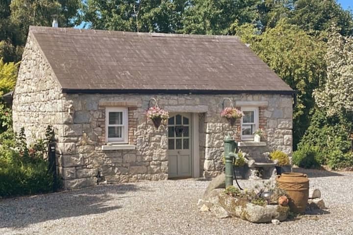 Enclosure in RathmoreEnclosure · 684 yd
 Rathmore Housedemesne walls/gates/railings · 761 yd
 Church (site of), Burial GroundChurch · 776 yd
 Site of CastleCastle, unclassified · 1384 yd
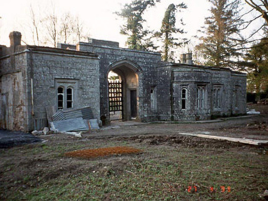 Lisnavagh Housegate lodge · 1.3 mi
 Church (in ruins), Cross, GraveyardChurch · 1.5 mi
 CastleCastle, unclassified · 1.6 mi
 Church (in Ruins), GraveyardChurch · 2.2 mi
 European ashEuropean ash · 2.3 mi
 Duckett's GroveHeritage attraction · 3.0 mi
 Cork oakCork oak · 3.9 mi
 Franciscan FriaryHeritage attraction · 5.4 mi
Other information
Photo: Credit not shown in the picture search · Rights wording not checked; contact us if this picture should be removed