
What is recorded here
On a slight S-facing slope in gently undulating mixed farmland. Described by Knox (1918b, 117, no. 15) as a poorly preserved 'rectangular enclosure' (c. 77m E-W; c. 68.5m N-S) with a 'square stone' annexe (L/Wth c. 23m) at NW. The latter was built around a low natural platform. No visible surface trace survives. (Cody 1989, 387, no. 172)
Compiled by: Galway Archaeological Survey, UCG
Date of upload: 11 February 2019
The monument record does not grant public access. Check the route and ask the landowner before entering private land.
- What survives
- Recorded monument
Places near here
 Enclosure in Ballygarraun SouthEnclosure · 99 yd
 IndicatedFairy fort / earthen ringfort · 564 yd
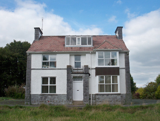 Mellows Campusbuilding misc · 896 yd
 RoadRoad, road/trackway · 1251 yd
 Castle (in Ruins)Castle, unclassified · 1.1 mi
 Horse-chestnutHorse-chestnut · 1.2 mi
 Athenry AbbeyHeritage attraction · 1.3 mi
 Athenry CastleHeritage attraction · 1.3 mi
 Castle or King Johns Court (in ruins)Castle, Anglo-Norman masonry castle · 1.3 miFirst Battle of Athenrybattle · 1.6 mi
 Moyard WoodWood · 3.5 mi
 Leadmine HillMountain / peak · 9.1 mi
Other information
Photo: Credit not shown in the picture search · Rights wording not checked; contact us if this picture should be removed