What is recorded here
Youngfield holds a D-shaped stone enclosure beside a cliff where a spring still flows around its eastern edge. Tony Miller identified the site in 2012, revealing rough field stone, possible internal terracing and western boundaries that may have guided animals toward it. The enclosure does not shout like a fortress; it waits beside grazing land, shaping movement and memory in County Cork.
This monument was brought to the attention of ASI by the archaeologist Tony Miller on 25th June 2012. The following is his description of the monument:
"A large D-shaped enclosure built against a small cliff face. It is a few hundred meters east of the hut site (CO090-036----) and situated in similar rough terrain. It measures c. 12m east-west and c. 10m north-south. There is an area of good grazing around it and there is a spring rising and flowing around its eastern perimeter. The wall is made of roughly laid field stone and to the southwest there is some evidence the interior was terraced and raised. To the west of this enclosure there are a number of long field boundaries running down the slope and in places would have guided animals towards it."
The monument record does not grant public access. Check the route and ask the landowner before entering private land.
- What survives
- Recorded monument
Places near here
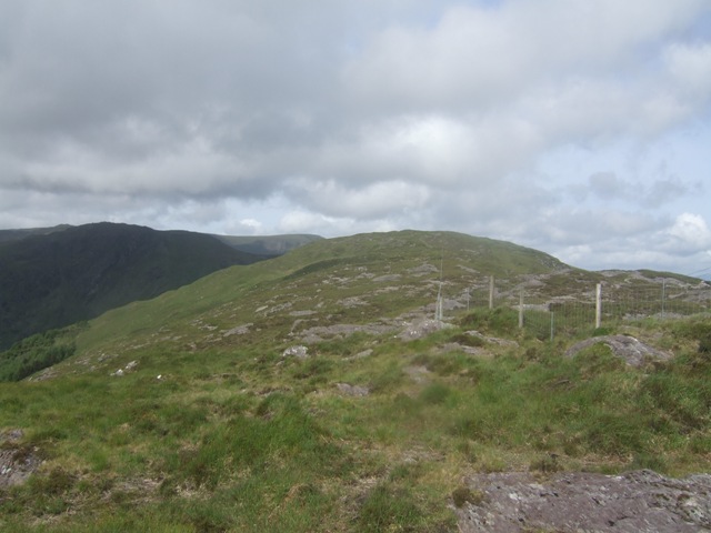 Baurearagh MountainMountain / peak · 469 yd
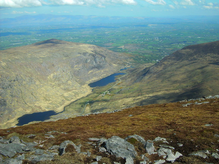 Killane MountainMountain / peak · 1293 yd
 IndicatedFairy fort / earthen ringfort · 1624 yd
 Enclosure in Baurearagh (glanarought By., Banawn Ed)Enclosure · 1.5 mi
 Gleninchaquin WaterfallWaterfall · 2.0 mi
 Gleninchaquin ParkHeritage attraction · 2.1 mi
 Molly Gallivan's Cottage & Traditional FarmMuseum · 2.7 mi
 Glengarriff WoodsWood · 2.7 mi
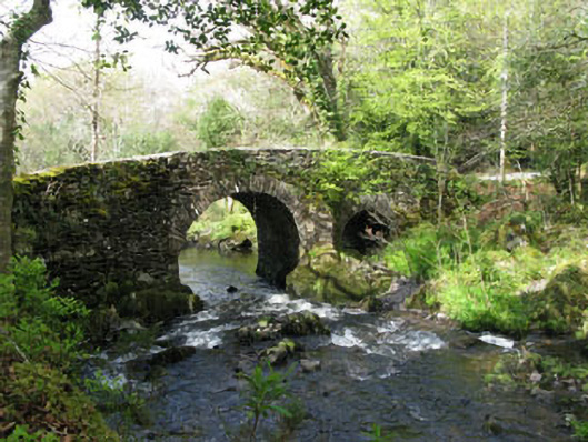 Glengarriff Nature Reservebridge · 2.9 mi
 Uragh Wood Nature ReserveNature reserve · 3.2 mi
 Lady Bantry's LookoutViewpoint · 3.2 mi
 Dromoghty Ho.Country house · 3.3 mi