
What is recorded here
The River Nore flows roughly N-S c. 600m to the W. Indicated on the 1st (1839) ed. OS 6-inch map and on the 1899-1902 revision as a circular enclosure defined by a broad fosse, with a entrance (Wth c. 4m) in the SE quadrant. An E-W field boundary is indicated running eastward up to the perimeter in the WNW sector and on the later revision another E-W field boundary is depicted running eastward from the perimeter in the SE sector. On satellite imagery it is evident that the enclosure and the latter field boundary have been largely levelled, though the outline of the enclosure is still visible.
Compiled by: Jean Farrelly
Date of upload: 7 October 2021
The monument record does not grant public access. Check the route and ask the landowner before entering private land.
- What survives
- Recorded monument
Places near here
 Enclosure in Baronsland (gowran By., Woolengrange Ed)Enclosure · 1205 yd
 MarlowWood · 1218 yd
 Grave YardGraveyard · 1297 yd
 Church (in ruins)Church · 1407 yd
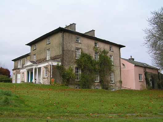 Maiden Hallcountry house · 1477 yd
 Annamult Castle (in ruins)Castle, tower house · 1758 yd
 Tower (in ruins)Bawn · 1.0 mi
 Kilbline GraveyardArchaeological place · 1.1 mi
 Black WalnutBlack Walnut · 1.2 mi
 Time CapsuleMemorial · 1.6 mi
 O'Gorman's Lane LoopWalking route · 1.9 mi
 Tullaherin Church and Round TowerVisitor information · 2.2 mi
Other information
Photo: Credit not shown in the picture search · Rights wording not checked; contact us if this picture should be removed