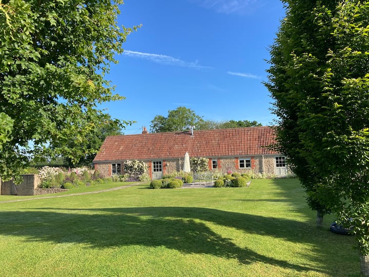
What is recorded here
First recorded in August 1991 in an aerial photographic survey by Dr. Gillian Barrett. Aerial photographs (GB91.EL.07 and 08) show the cropmarks of an incomplete curvilinear enclosure defined by two widely spaced fosses.
Compiled by: Dr. Gillian Barrett
Date of upload: 13 December 2011
The monument record does not grant public access. Check the route and ask the landowner before entering private land.
- What survives
- Recorded monument
Places near here
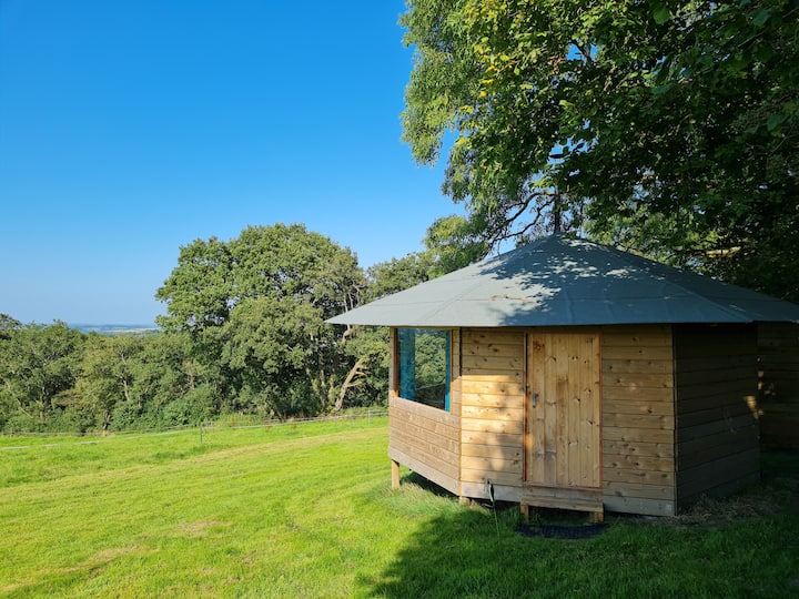 Enclosure in Woodlands EastEnclosure · 213 yd
 water pumpwater pump · 585 yd
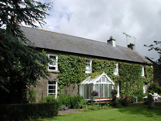 Woodlands Housefarm house · 695 yd
 Enclosure in Prumpelstown LowerEnclosure · 892 yd
 ProclamationMemorial · 1.1 mi
 Franciscan FriaryHeritage attraction · 1.3 mi
 Castledermot Round TowerHeritage attraction · 1.4 mi
 Gorteen MoundCastle, unclassified · 1.8 mi
 CastleCastle, tower house · 1.8 mi
 Lorcán Ó TuathailMemorial · 2.0 mi
 Mullaghreelan WoodForest · 2.3 mi
 Oak Park Forest ParkWood · 3.0 mi
Other information
Photo: Credit not shown in the picture search · Rights wording not checked; contact us if this picture should be removed