
What is recorded here
Indicated on the 1st (1839-40) ed. OS 6-inch map as a circular enclosure (diam. c. 50m) surrounded by an a large oval enclosure (dims. c. 100m NW-SE; c. 80m NE-SW). A field boundary runs NE-SW along the edge of the outer enclosure. On the 2nd (1945-6) revision the monument is indicated with a field boundary containing it on all S, except to the S where the perimeter of the larger enclosure is depicted running up to the field boundary, suggesting it continues slightly S of it. On an aerial photograph (CUCAP BGG031, 16 July 1971) portion of a curvilinear enclosure is visible as a cropmark extending c. 20m N of the N field boundary containing the monument, with a break in the fosse to the N suggesting a possible entrance. This aerial photograph also shows a cropmark of a sub-rectangular enclosure (KK019-047002-) extending c. 20-30m westward from the N portion of the monument, with the N side running E-W c. 30m to the N.
See attached:
KK019-047001-_01 aerial photograph CUCAP BGG026, 16 July 1971
Compiled by: Jean Farrelly
Date of upload: 7 October 2020
The monument record does not grant public access. Check the route and ask the landowner before entering private land.
- What survives
- Recorded monument
Places near here
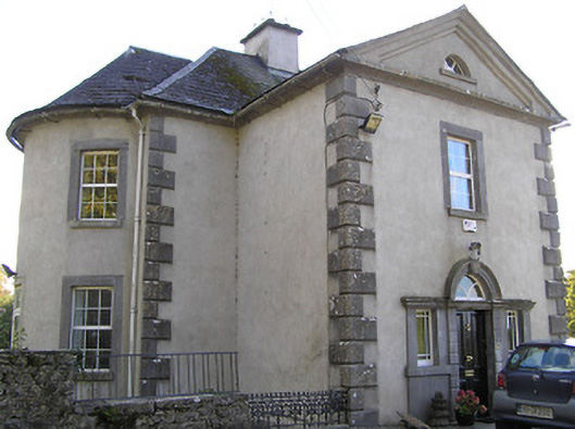 Millmounthouse · 321 yd
 Prims Cottagemiller's house · 359 yd
 Architectural fragment in MaddockstownArchitectural fragment · 426 yd
 Grave YardGraveyard · 434 yd
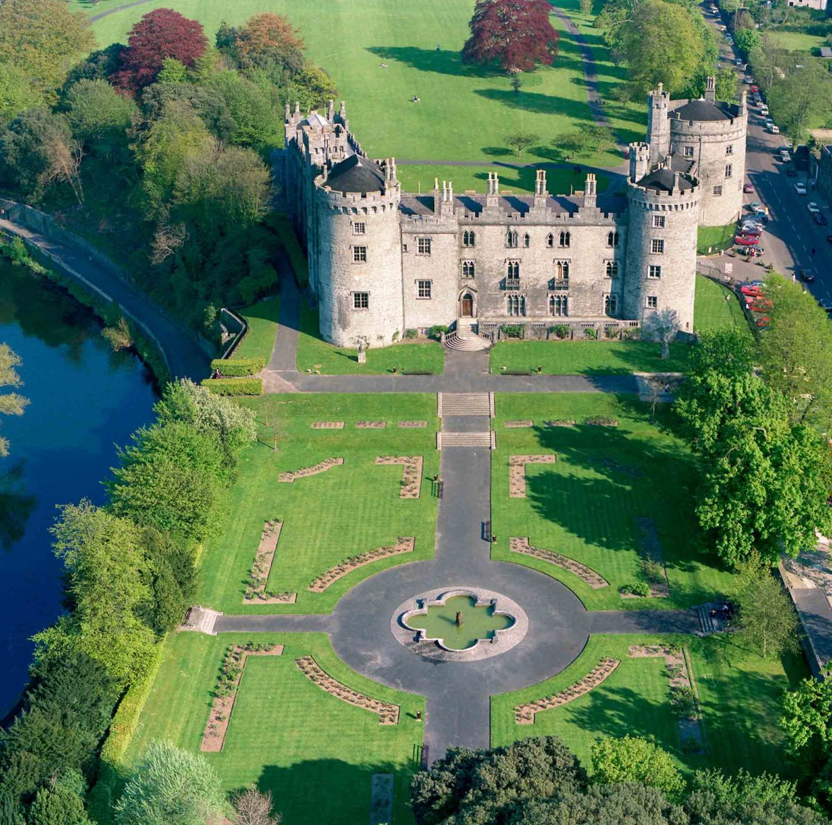 Site of Lavistown CastleCastle, unclassified · 799 yd
 Site of Raheenmore CastleCastle, unclassified · 1.0 mi
 Saint Molagga's WellSpring · 1.3 mi
 Kilkenny AirsoftHeritage attraction · 1.4 mi
 Ivan PowerMemorial · 1.6 mi
 Michael CarthyMemorial · 1.7 mi
 Dunbell Big RingfortWood · 1.8 mi
 Kilkenny County Council Car ParkVisitor information · 2.3 mi
Other information
Photo: Credit not shown in the picture search · Rights wording not checked; contact us if this picture should be removed