What is recorded here
Enclosure in Walshestown (muskerry East By.) is a D-shaped enclosure on a south-facing slope above a stream valley in County Cork. The 1842 map showed its hachured rim and straight western edge, but ploughing and pasture have since reduced it to faint undulations. Local memory still calls it a fort, suggesting people once shaped that slope for defence or residence before the land smoothed itself flat again.
In pasture, on S-facing slope overlooking stream valley. Depicted as hachured D-shaped enclosure (c. 35m E-W; c. 30m N-S) on 1842 OS 6-inch map; straight side abutting W side of N-S field boundary. Levelled; low undulations in area of site. According to Hartnett (1939, 136), locally known as site of fort.
The above description is derived from the published 'Archaeological Inventory of County Cork. Volume 3: Mid Cork' (Dublin: Stationery Office, 1997). In certain instances the entries have been revised and updated in the light of recent research.
Date of upload/revision: 14 January 2009
The monument record does not grant public access. Check the route and ask the landowner before entering private land.
- What survives
- Recorded monument
Places near here
 Marys Well, Sundays WellHoly well · 541 yd
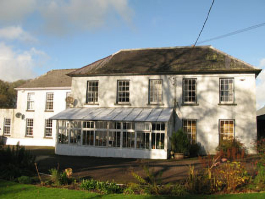 Clashanure Housecountry house · 990 yd
 Castle Inch (in Ruins)Castle, tower house · 1173 yd
 Flooded buildingsRuins · 1284 yd
 Bob AdamsMemorial · 1367 yd
 Fulacht fia in ClashanureFulacht fia · 1390 yd
 Iniscarra Dam ViewViewpoint · 1.0 mi
 Graveyard in Carrigane (muskerry East By.)Graveyard · 2.0 mi
 Kilcrea Castle (in Ruins)Castle, tower house · 2.3 mi
 Kilcrea CastleWood · 2.3 mi
 Ballyanly Inniscarra Slí na SláinteWalking route · 2.4 mi
 Coachford Greenway (End)Visitor information · 2.4 mi