What is recorded here
No. Enclosure in Unknown Townland is a new name for an unknown place. I will not invent the story or label that invention as history.
Rathgar fort is marked on Duncan's map (1821) and is listed in the City Development Plan 1991: No. 117 as 'site of rath'. Taylor's map of the Environs of Dublin (1816) shows 'Fort of Rathgar' located along the N side of Highfield Road. No visible surface remains.
The monument record does not grant public access. Check the route and ask the landowner before entering private land.
- What survives
- Recorded monument
Places near here
 The OrchardsCastle, unclassified · 585 yd
 Rathgar CastleCastle, unclassified · 635 yd
 Windmill in Unknown TownlandWindmill · 741 yd
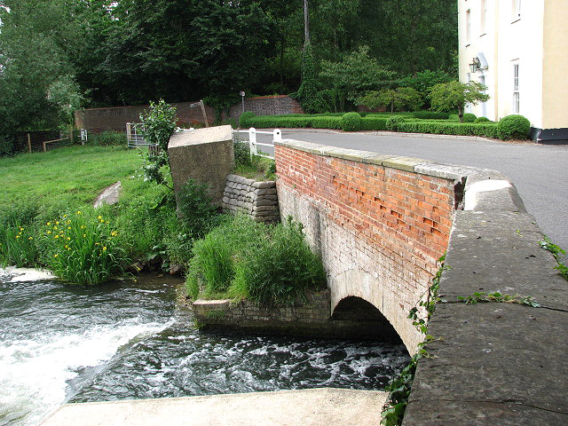 Mill RaceMill, unclassified · 920 yd
 Birthplace of James JoyceMemorial · 1041 yd
 David Luke 1993Monument · 1057 yd
 James Joyce Dublin TourismMemorial · 1072 yd
 La Galerie ImpromptuGallery · 1145 yd
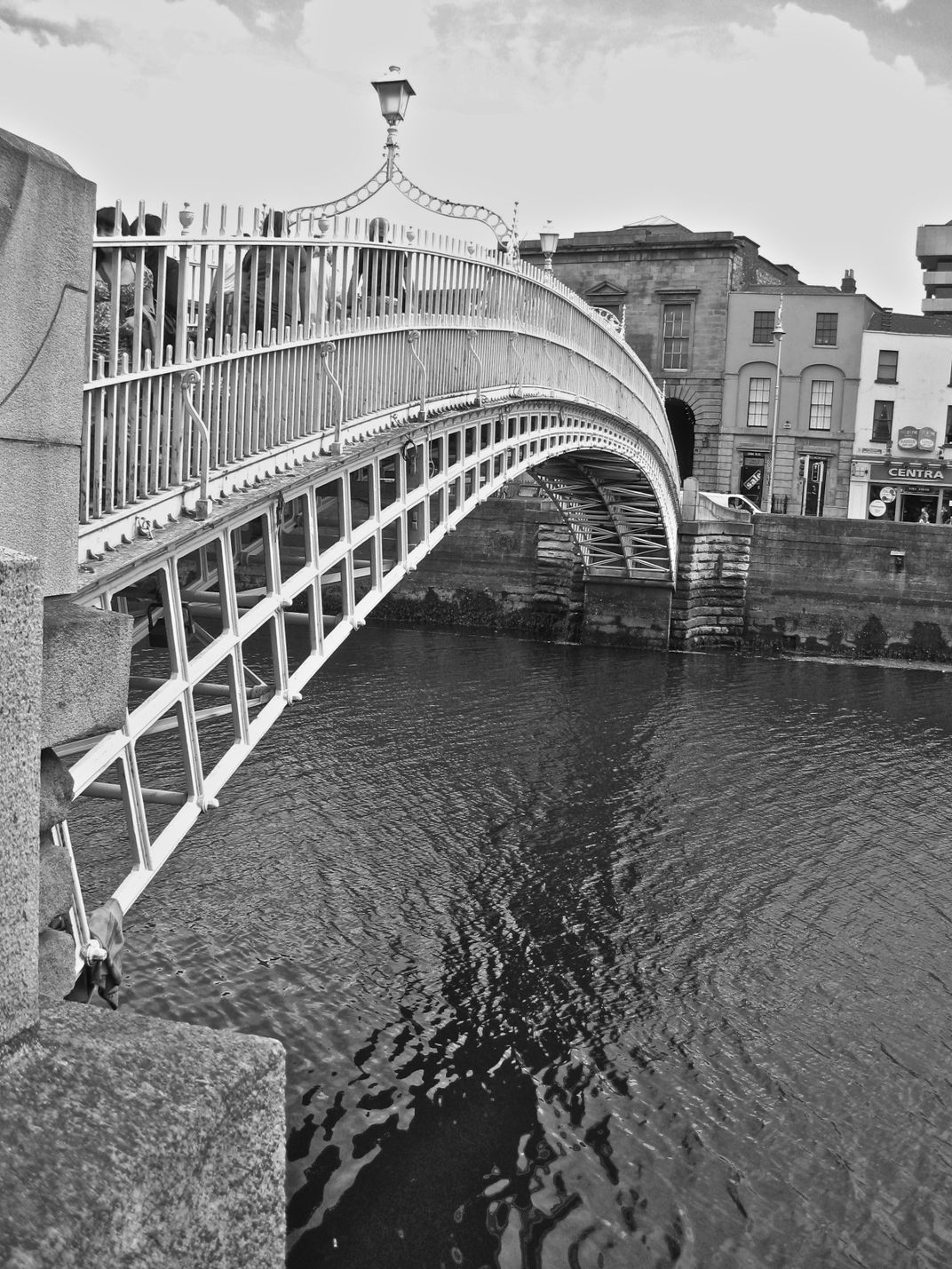 Classons BridgeBridge · 1161 yd
 The MART GalleryHeritage attraction · 1236 yd
 Battle of RathminesMajor battlefield · 1504 yd
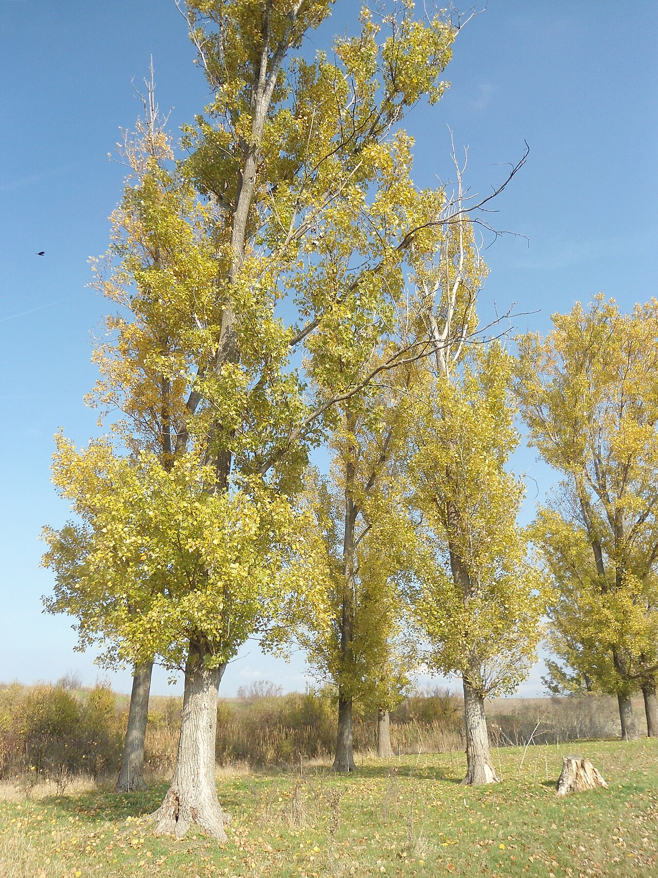 Hybrid poplarHybrid poplar · 1703 yd