
What is recorded here
Named 'Fort' on the 1837 edition OS 6-inch map.Situated in a low-lying, residental area by the strand. Not visible at ground level.
Compiled by: Geraldine Stout
Date of upload: 26 August 2011
The monument record does not grant public access. Check the route and ask the landowner before entering private land.
- What survives
- Recorded monument
Places near here
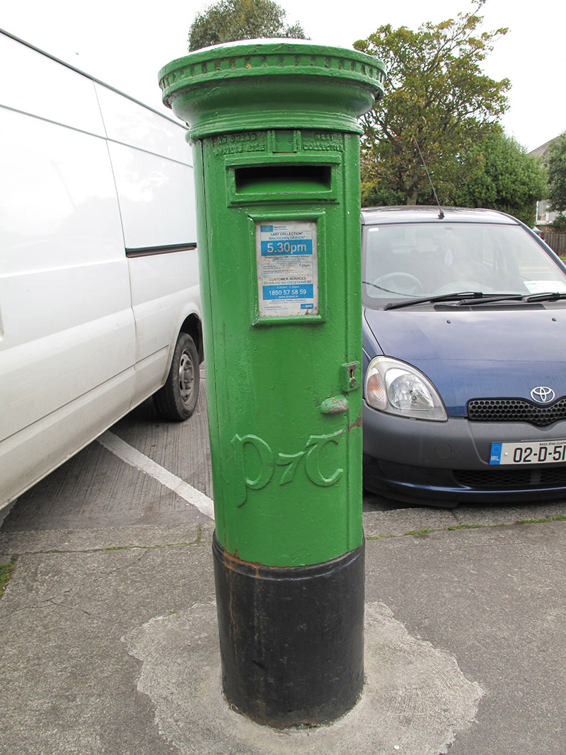 post boxpost box · 342 yd
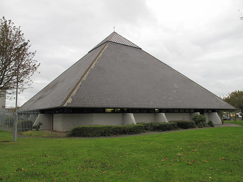 Church of St. John the Evangelistchurch/chapel · 746 yd
 Graveyard in Kilbarrack LowerGraveyard · 829 yd
 Enclosure in BaldoyleEnclosure · 1043 yd
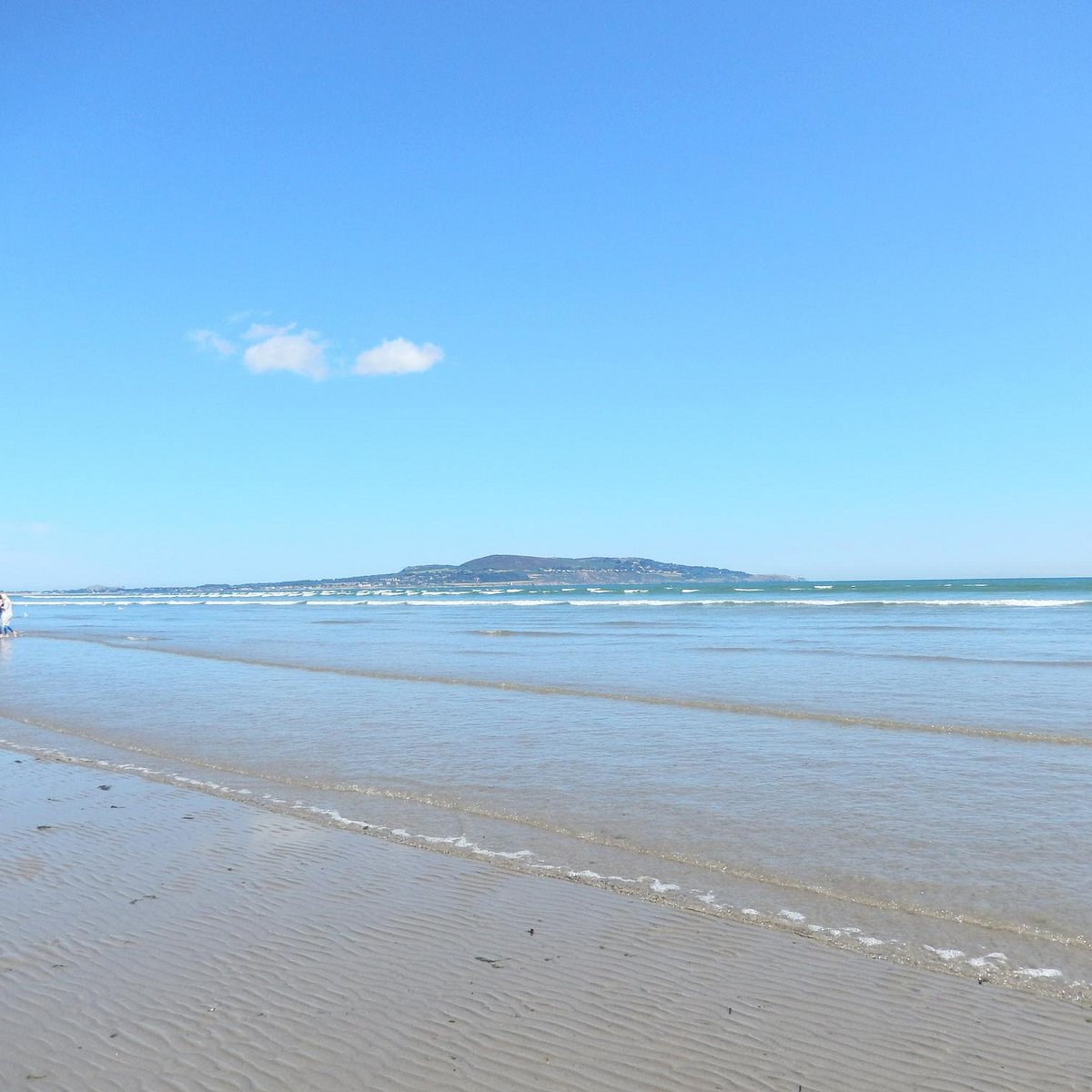 Bull Island Wildlife Only AreaNature reserve · 1202 yd
 Map of Baldoyle Industrial EstateVisitor information · 1493 yd
 St. Donaghs WellHoly well · 1.0 mi
 Bull Island Nature ReserveVisitor information · 1.1 mi
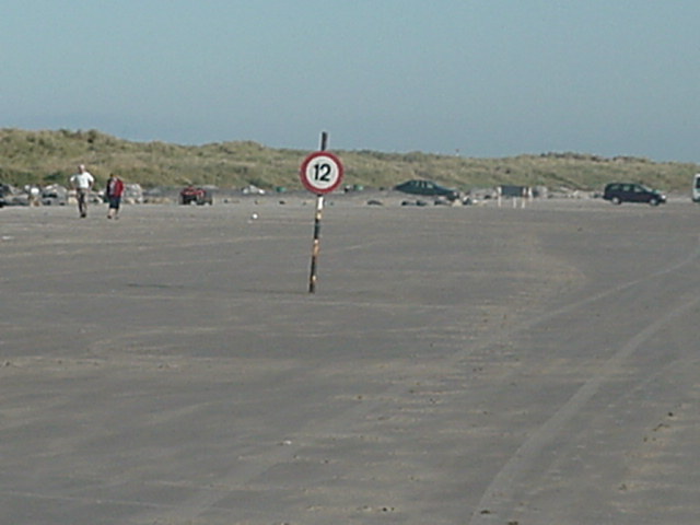 Dollymount StrandBeach / strand · 1.2 mi
 Holm OakHolm Oak · 1.3 mi
 Hermit's CaveMonument · 1.4 mi
 Ayrfied UnitedHeritage attraction · 1.8 mi
Other information
Photo: Credit not shown in the picture search · Rights wording not checked; contact us if this picture should be removed