
What is recorded here
An aerial photograph (BKS 71080) taken in 1965 shows cropmark evidence for an enclosure. This had been removed through quarrying by 1973 leaving no visible trace at ground level.
Compiled by: Geraldine Stout
Date of upload: 26 August 2011
A local fairy fort (ringfort/rath); wider significance not recorded.
This remains an important historical record, but the official description says the monument is no longer visible or has been destroyed. The monument record does not grant public access. Check the route and ask the landowner before entering private land.
- What survives
- No visible remains or recorded as destroyed
Places near here
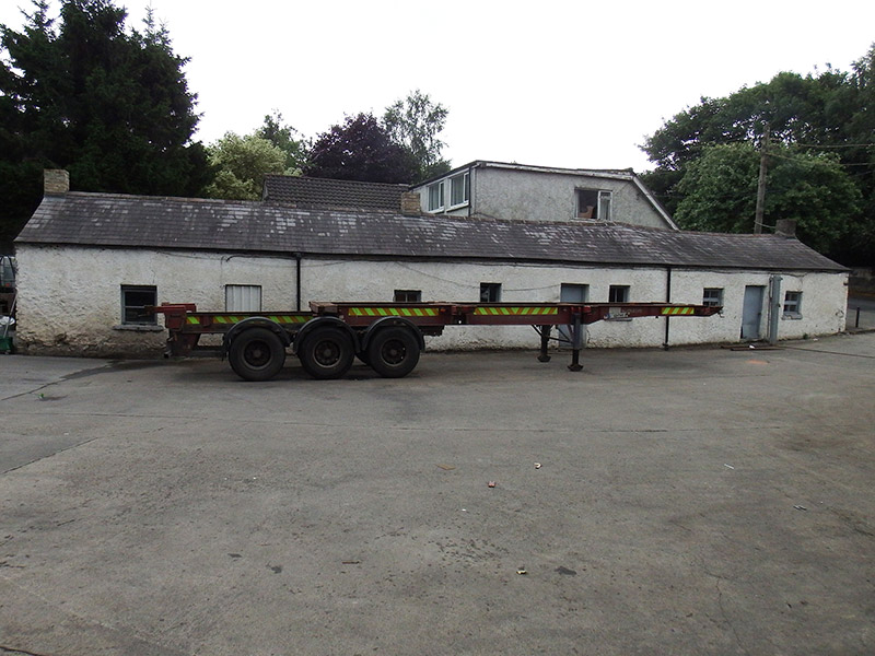 Farrelly's Cottageshouse · 543 yd
 MillMill, unclassified · 642 yd
 Stone CrossCross, High cross · 975 yd
 Graveslab in Unknown TownlandGraveslab · 1044 yd
 Richard McKeeMemorial · 1056 yd
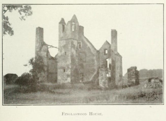 Finglaswood HouseCastle, tower house · 1175 yd
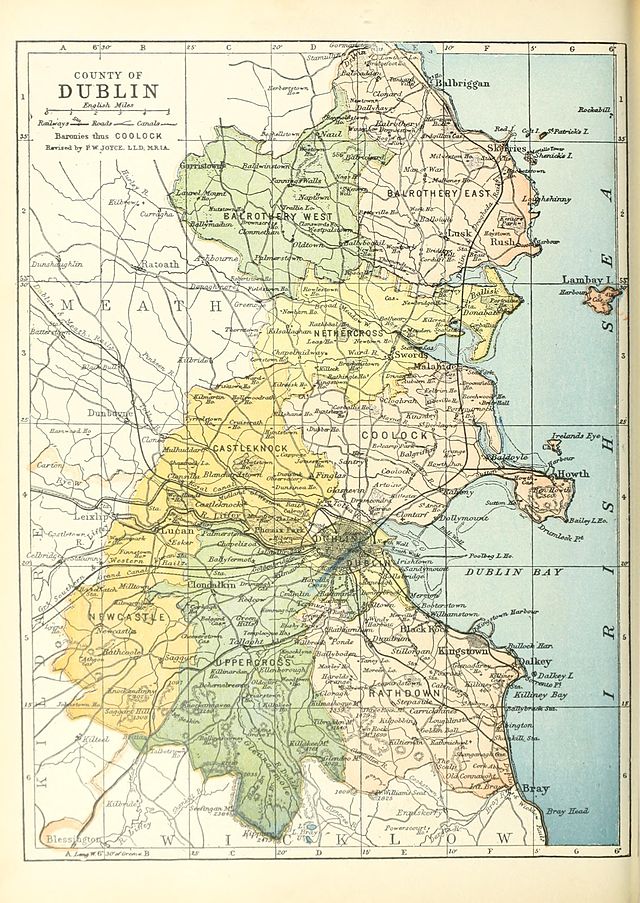 UHVisitor information · 1180 yd
 SHVisitor information · 1189 yd
 BaldcypressBaldcypress · 1432 yd
 William Rowan Hamilton PlaqueMemorial · 1434 yd
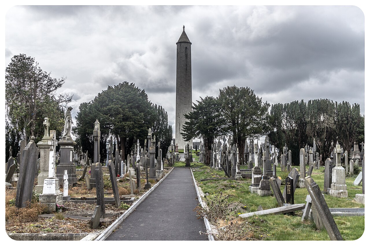 Glasnevin CemeteryHistoric cemetery · 1449 yd
 Dawn RedwoodDawn Redwood · 1455 yd
Other information
Photo: Credit not shown in the picture search · Rights wording not checked; contact us if this picture should be removed