What is recorded here
Situated on a gentle N-facing slope. About one-third of a circular enclosure (E portion) (original diam. c. 40m) defined by an earthen bank (Wth 2.6m;H 1.3m; L 32m).
The above description is derived from the published 'Archaeological Inventory of County Wicklow' (Dublin: Stationery Office, 1997). In certain instances the entries have been revised and updated in the light of recent research.
Date of upload/revision: 17 December 2008
The monument record does not grant public access. Check the route and ask the landowner before entering private land.
- What survives
- Recorded monument
Places near here
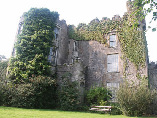 Carnew Castlecastle/fortified house · 1223 yd
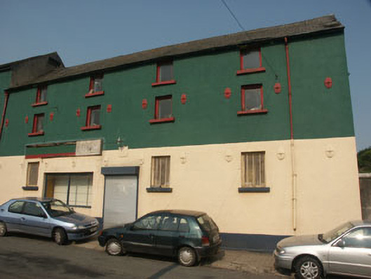 shop/retail outletshop/retail outlet · 1267 yd
 Enclosure in TombreenEnclosure · 1498 yd
 Blue SchoolMemorial · 2.0 mi
 Saint Brigid's WellSpring · 2.5 mi
 SlievegowerMountain / peak · 2.8 mi
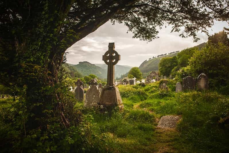 Carrig WoodForest · 2.8 mi
 SlieveboyMountain / peak · 3.0 mi
 Ballyknocker WoodWood · 3.1 mi
 Embanked enclosureCastle, motte · 4.8 mi
 Clonogan Castle (site of)Castle, unclassified · 5.9 mi