What is recorded here
Enclosure in Tullira is a subrectangular earthwork in a Galway valley, still visible as a bank and partial fosse after more than a century on maps. It may have been a fort, a plantation boundary, or merely a shaped landscape, because cultivation ridges and tree roots now tangle its interior. The ambiguity is not a flaw; it is the place speaking.
In a valley in rough pastureland. Recorded by McCaffrey (1952, 289, no. 69a) as a possible earthen fort or a former plantation - as depicted on the 1838 and 1921 editions of the OS 6-inch maps. It was rectangular in plan and defined by a bank and fosse. On inspection in October 1982 a poorly preserved subrectangular enclosure (40.2m E-W; 28m N-S) defined by an earthen bank along W, N and E sides was visible. A slight fosse survived along the W and N sides but it was infilled along the E side. There were a number of large boulders on the inner face of the bank along the W side. These appeared to form a revetment though some were set at right angles to the bank. Traces of cultivation ridges were visible in the interior which was heavily planted with trees. It was not possible to determine whether the enclosure was of archaeological significance or a landscape feature due to disturbance.
Compiled by: Galway Archaeological Survey, UCG
Date of upload: 16 July 2019
The monument record does not grant public access. Check the route and ask the landowner before entering private land.
- What survives
- Recorded monument
Places near here
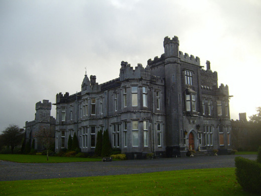 Tullira Castlecountry house · 854 yd
 Rahaly Castle (in ruins)Castle, tower house · 1285 yd
 IndicatedFairy fort / stone ringfort · 1.0 mi
 CaveMan-made underground passage · 1.2 mi
 Church (in ruins)Church · 1.2 mi
 HawthornHawthorn · 1.6 mi
 European ashEuropean ash · 1.6 mi
 Ballymaquiff CastleCastle · 1.9 mi
 Drumharsna CastleHeritage attraction · 2.8 mi
 Mulroney's IslandIslet · 7.1 mi
 Kilmacduagh Monastic SiteVisitor information · 7.3 mi
 Traught BeachBeach / strand · 9.1 mi
Other information
Photo: Credit not shown in the picture search · Rights wording not checked; contact us if this picture should be removed