
What is recorded here
On a gentle S-facing slope in pastureland. Marked on the 1838 edition of the OS 6-inch map as a circular tree plantation (diam. c. 30m); on the 1921 edition a curving line of hachures is depicted from SSE to W. No visible surface trace survives. Possibly an enclosure or a landscape feature.
Compiled by: Galway Archaeological Survey, UCG
Date of upload: 16 July 2019
The monument record does not grant public access. Check the route and ask the landowner before entering private land.
- What survives
- Recorded monument
Places near here
 IndicatedFairy fort / stone ringfort · 204 yd
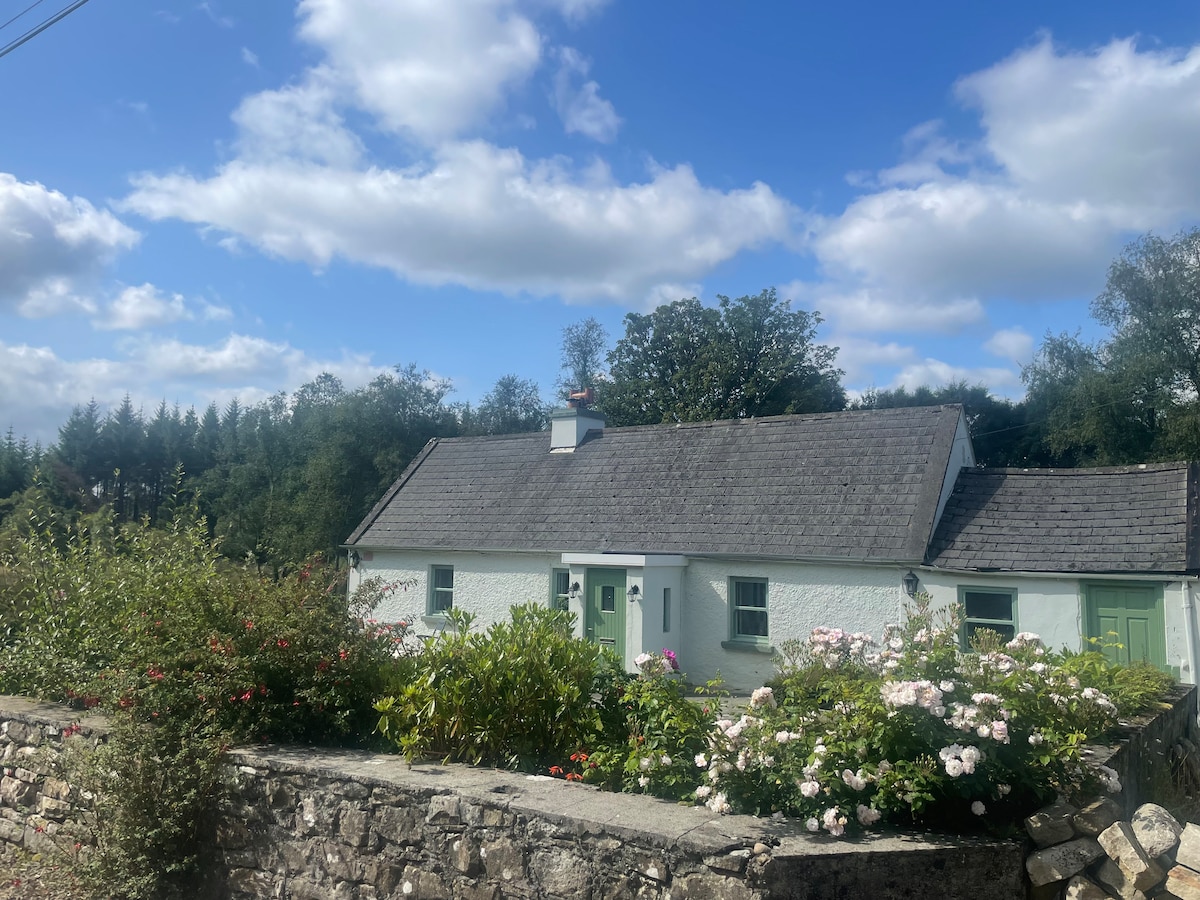 Enclosure in TulliraEnclosure · 244 yd
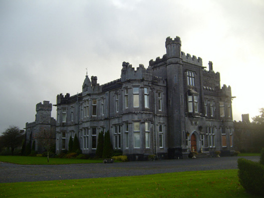 Tullira Castlecountry house · 784 yd
 Loughnane and Quinn Memorial Halldemesne walls/gates/railings · 903 yd
 Ballymaquiff CastleCastle · 1.3 mi
 Castle (in ruins)Castle, Anglo-Norman masonry castle · 1.3 mi
 HawthornHawthorn · 1.8 mi
 European ashEuropean ash · 1.9 mi
 Drumharsna CastleHeritage attraction · 2.0 mi
 Drumacoo Monastic SiteHeritage attraction · 6.1 mi
 Mulroney's IslandIslet · 6.4 mi
 Kilmacduagh Monastic SiteVisitor information · 7.4 mi
Other information
Photo: Credit not shown in the picture search · Rights wording not checked; contact us if this picture should be removed