
What is recorded here
On the SW side of small hills overlooking a valley to the SW, in rolling reclaimed arable and cultivated pasture. There are good views in all directions. A circular enclosure (diam. c. 30m) indicated on the 1st (1839) ed. OS 6-inch map with a lime kiln along the edge in the SE quadrant. On the 1900 revision it is shown, except for the SE quadrant which presumably was quarried out. It has subsequently been levelled and is not visible at ground level. There are a number of enclosures (KK012-029----; KK012-030----; KK012-032----; KK012-033----) nearby c. 160m to the SW, c. 100m to the SSW, c. 120m to the SSE and c. 250m to the SE respectively, which are indicated on the 1st ed. OS 6-inch map, but have since been levelled.
Compiled by: Jean Farrelly
Date of upload: 11 June 2019
The monument record does not grant public access. Check the route and ask the landowner before entering private land.
- What survives
- Recorded monument
Places near here
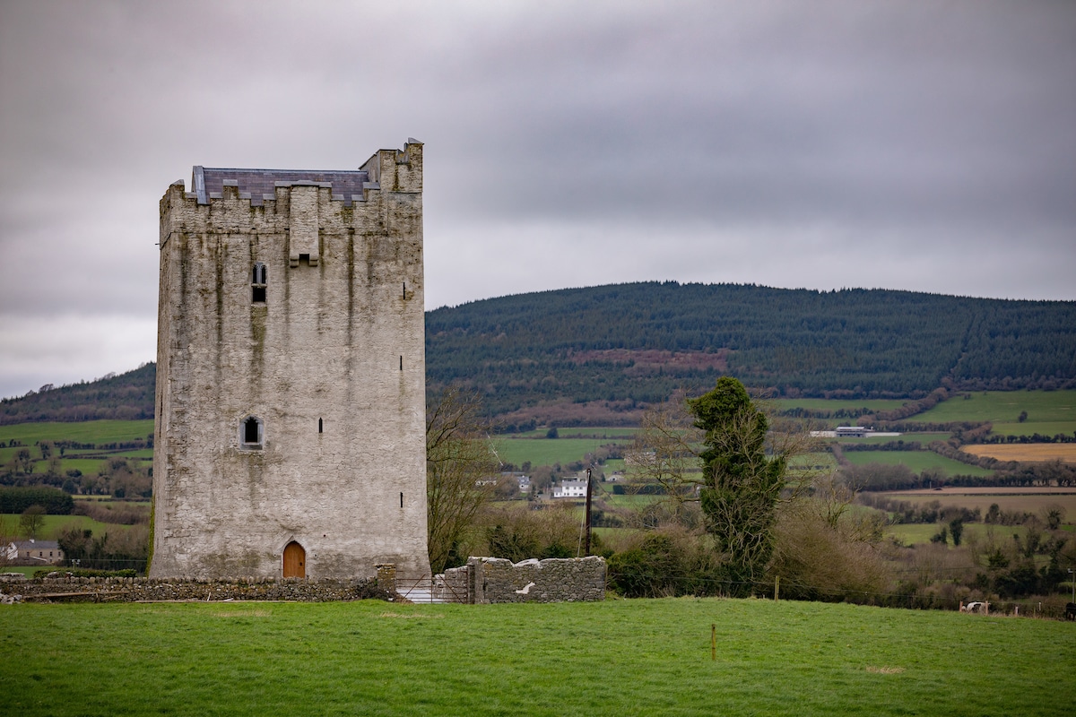 Enclosure in Tubbrid LowerEnclosure · 292 yd
 Tubbrid Lower RingfortArchaeological place · 509 yd
 Woodsgift Housegates/railings/walls · 961 yd
 CastleCastle, ringwork · 1250 yd
 Tubbrid Castle (in ruins)Castle, tower house · 1515 yd
 Church in WoodsgiftChurch · 1547 yd
 Kildrinagh WoodForest · 1.1 mi
 Clomantagh HillMountain / peak · 2.2 mi
 John HelyMemorial · 3.5 mi
 Deerpark WoodWood · 3.7 mi
 DelaneyMemorial · 3.7 mi
 Bregaun HillMountain / peak · 5.6 mi
Other information
Photo: Credit not shown in the picture search · Rights wording not checked; contact us if this picture should be removed