
What is recorded here
Enclosure in Trenchardstown is a 43-metre Irish rath marked on the 1839 survey beside a working limekiln, tying ancient defence to industrial fire. O'Kelly identified it as Ráithín a crooka, preserving its local name after quarrying scarred the land. The earthworks still distinguish human time from regional time, while the missing life inside them remains visible only through the shape made when people stopped repeating the same gestures.
Depicted as a irregular enclosure (dims. c. 33m N-S; c. 43m E-W) on the 1st (1839) ed. OS 6-inch map with a limekiln in the S edge. The 1900 revision OS 6-inch map indicates some quarrying in the S-SW sector. Describing the antiquities of Trenchardstown, this may be the monument referred to by O'Kelly (1969, 31) as, 'a small rath in a field called Ráithín a crooka'.
Compiled by: Jean Farrelly
Date of upload: 23 June 2020
The monument record does not grant public access. Check the route and ask the landowner before entering private land.
- What survives
- Recorded monument
Places near here
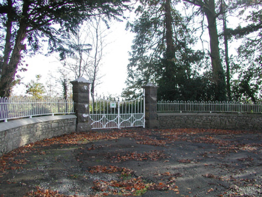 Curragh Housegates/railings/walls · 687 yd
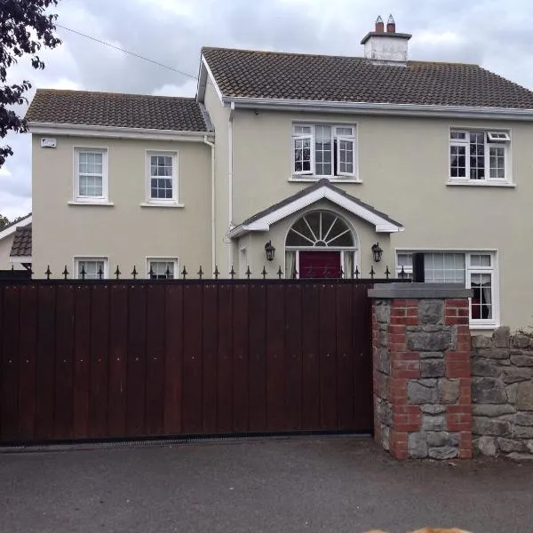 CrossCross, Wayside cross · 1064 yd
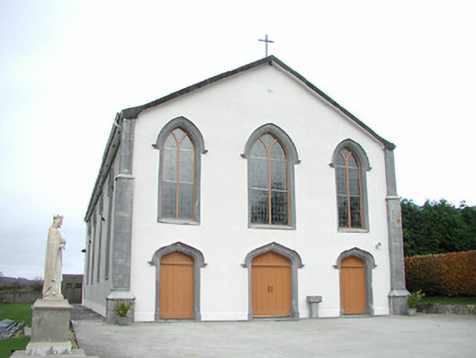 Catholic Church of the Assumptionchurch/chapel · 1248 yd
 Tullaroan MotteArchaeological place · 1448 yd
 CastleCastle, unclassified · 1620 yd
 Site of CastleCastle, unclassified · 1.8 mi
 Killeen Fox CovertForest · 2.4 mi
 Kildrinagh WoodForest · 2.5 mi
 Ballykeeffe Mass RockNamed rock · 4.2 mi
 Warhouse HillMountain / peak · 4.4 mi
 Ballykeefe QuarryCliff · 4.4 mi
 Ballykeefe AmphitheatreHeritage attraction · 4.4 mi
Other information
Photo: Credit not shown in the picture search · Rights wording not checked; contact us if this picture should be removed