What is recorded here
On a SW-facing valley slope, above a small stream which is a tributary of the Toor Brook. A D-shaped area (37m NE-SW; 39m SE-NW) enclosed by a large earth and stone bank (Wth 3.7m; int. H 0.4m; ext. H 1.1m) with traces of internal stone facing at N and external stone facing at W. The bank has been denuded along the N and S sides. A grove of conifers occupies the E quadrant of the interior with an L-shaped structure (4.7m NW-SE; 4.3m NE-SW) built up againt the inner face of the enclosing bank at SE.
Compiled by: Matt Kelleher
Date of upload: 10 January 2013
The monument record does not grant public access. Check the route and ask the landowner before entering private land.
- What survives
- Recorded monument
Places near here
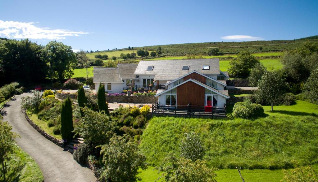 Toor LodgeRuins · 782 yd
 Enclosure in ToorEnclosure · 1149 yd
 Enclosure in SlievecorraghEnclosure · 1726 yd
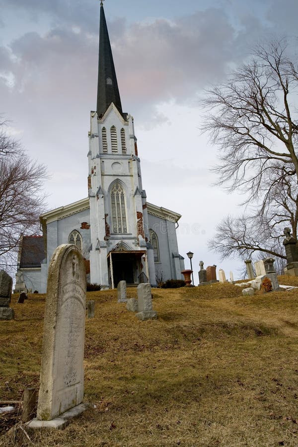 Church (in Ruins), Grave YardChurch · 1742 yd
 Church MountainMountain / peak · 1.1 mi
 Hollywood SignHeritage attraction · 1.4 mi
 Saint Kevin's CaveMemorial · 1.5 mi
 Castle BankCastle, motte and bailey · 1.6 mi
 European YewEuropean Yew · 1.6 mi
 Burial ground in CrehelpBurial ground · 2.0 mi
 PinnacleMountain / peak · 2.9 mi
 Hollywood Horse and Pony TrekkingHeritage attraction · 3.0 mi