What is recorded here
Situated on a gentle S/SE-facing slope in pasture overlooking marshy low-lying terrain beside a small stream. Circular site (dims. 102m N-S; 98m E-W) defined by an inner fosse (Wth 4-5m; D 0.4m), an earthen bank (Wth 3.5-4m; int. H 0.3-1m) and an outer fosse (Wth 5-7m; max. D 1m) enclosing a low natural hillock (max. ext. dims. 120m N-S; 125m E-W). At the S the outer fosse merges into a wide berm (Wth 6.5m) made by cutting a step scarp into the natural slope. The highest part of the hillock is towards the S and at this point there are foundations of walls forming an angle. No indication of an entrance or inner bank. Local tradition describes a 'passage' into the site.
The above description is derived from the published 'Archaeological Inventory of County Wicklow' (Dublin: Stationery Office, 1997). In certain instances the entries have been revised and updated in the light of recent research.
Date of upload/revision: 17 December 2008
The monument record does not grant public access. Check the route and ask the landowner before entering private land.
- What survives
- Recorded monument
Places near here
 Enclosure in KnockadreetEnclosure · 1380 yd
 Devil's Glen WaterfallWaterfall · 1.1 mi
 Enclosure in Tomcoyle UpperEnclosure · 1.3 mi
 Vartry Reservoirdam/reservoir/basin · 1.3 mi
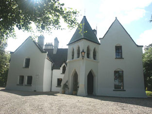 Vartry Lodgehouse · 1.4 mi
 BallinacorbegMountain / peak · 1.8 mi
 Castle Kevin (in Ruins)Castle, motte and bailey · 1.9 mi
 Devil's Glen WoodForest · 1.9 mi
 Carrick MountainMountain / peak · 3.6 mi
 Victor's WayHeritage attraction · 3.8 mi
 Native Woodland Trust: Paddock Hill ReserveWood · 3.9 mi
 Workers GreenMemorial · 4.3 mi