What is recorded here
On flat ground on broad crest of hill, in undulating terrain under grass. Monument indicated on 1st (1840) ed. OS 6-inch map as a circular enclosure, by the 2nd (1901-05) the S quadrant appears to have been levelled. The monument (overall diam. c. 45m) shows up as a cropmark on an aerial photograph (CUCAP July 1970 BDR 87) and on satellite imagery (Bing viewed October 2022). Another enclosure (TS076-034002-) also appears as a cropmark c. 200m to N. The enclosure is not visible at ground level.
See attached:
TS076-034001-_01 satellite image (Bing satellite imagery)
Compiled by: Jean Farrelly
Date of revised upload: 11 October 2022
The monument record does not grant public access. Check the route and ask the landowner before entering private land.
- What survives
- Recorded monument
Places near here
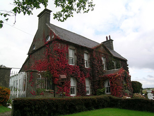 Keylong Househouse · 607 yd
 Kedrah FortArchaeological place · 1109 yd
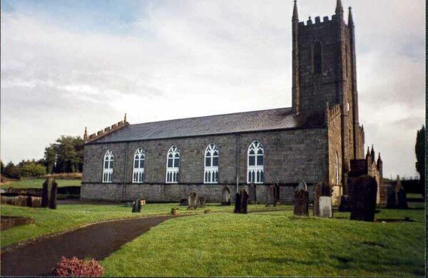 Ballylegan Church (in ruins)Church · 1124 yd
 Bawn in KedrahBawn · 1.0 mi
 Short Castle (in ruins)Castle, tower house · 1.1 mi
 Enclosure in EdenmoreEnclosure · 1.4 mi
 Caher AbbeyHeritage attraction · 1.7 mi
 Siege of Cahir Castlesiege · 1.8 miCahir CastleHeritage attraction · 1.8 mi
 Pedunculate OakPedunculate Oak · 2.5 mi
 European YewEuropean Yew · 2.6 mi
 Slieveanard NE TopMountain / peak · 4.2 mi